A summary of The Bothnian Sea: a portrait

2011 · 14 slides · MSP in the Baltic

A summary of the draft spatial assessment of the Bothnian Sea, with the 128 datasets collected and the maps in each chapter.
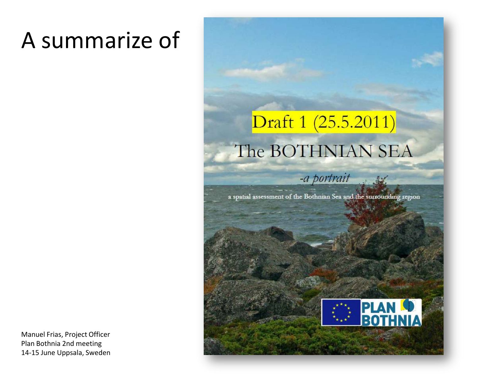
Slide 1 of 14: A summarize of Manuel Frias, Project Officer Plan Bothnia 2nd meeting 14-15 June Uppsala, Sweden
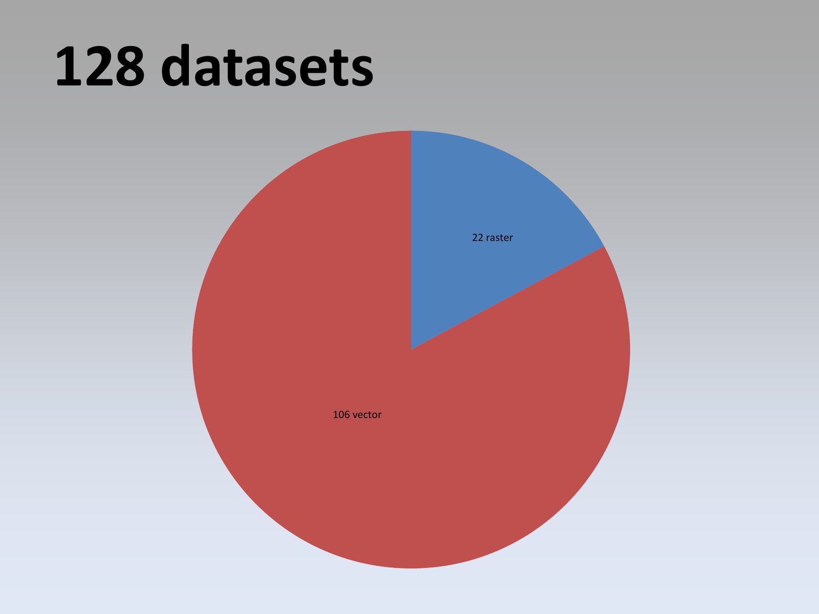
Slide 2 of 14: 128 datasets 22 raster 106 vector
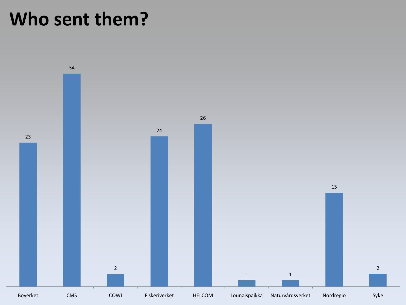
Slide 3 of 14: Who sent them? 34 26 24 23 15 2 2 1 1 Boverket CMS COWI Fiskeriverket HELCOM Lounaispaikka Naturvårdsverket Nordregio Syke
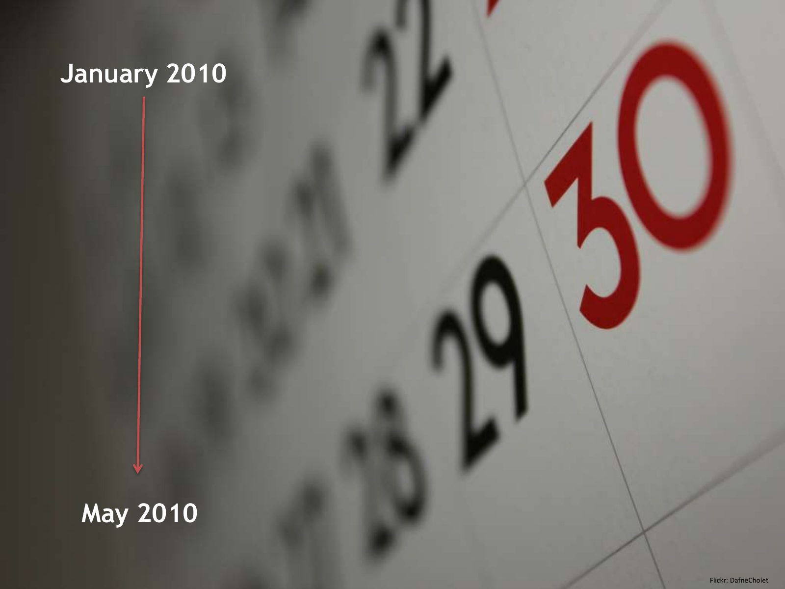
Slide 4 of 14: January 2010 May 2010 Flickr: DafneCholet
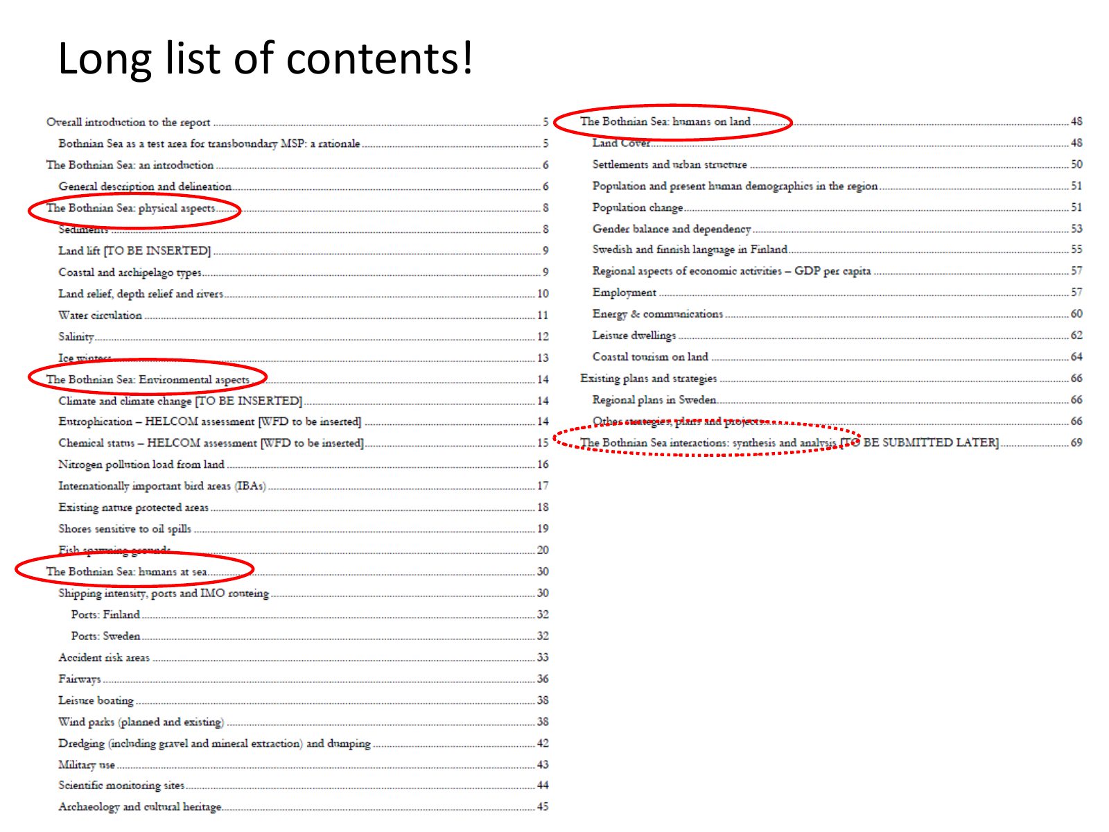
Slide 5 of 14: Long list of contents!
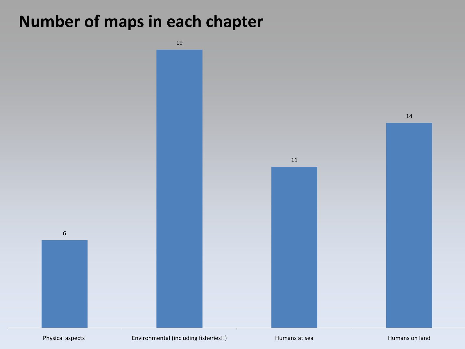
Slide 6 of 14: Number of maps in each chapter 19 14 11 6 Physical aspects Environmental (including fisheries!!) Humans at sea Humans on land
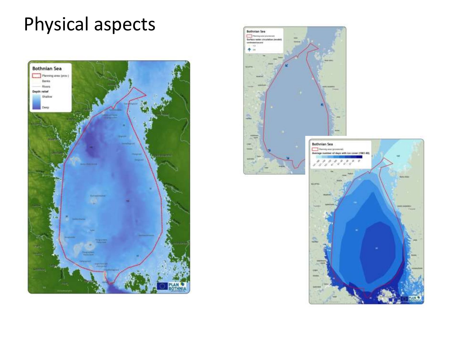
Slide 7 of 14: Physical aspects
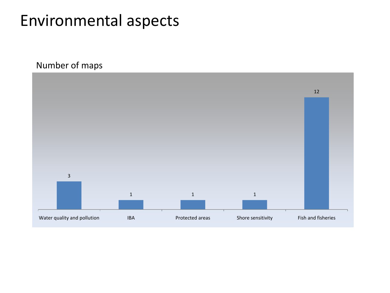
Slide 8 of 14: Environmental aspects Number of maps 12 3 1 1 1 Water quality and pollution IBA Protected areas Shore sensitivity Fish and fisheries
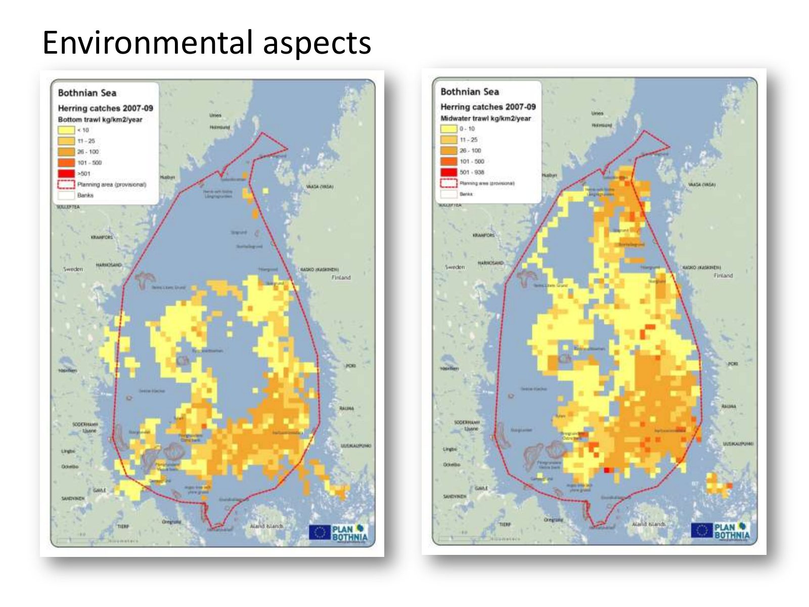
Slide 9 of 14: Environmental aspects
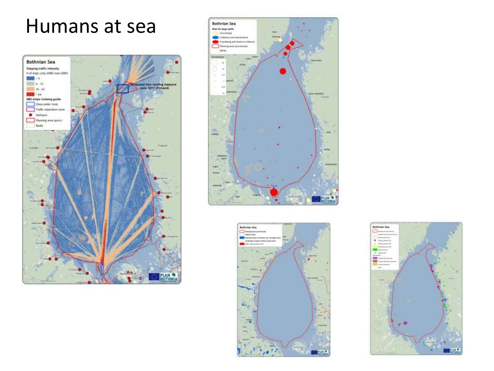
Slide 10 of 14: Humans at sea
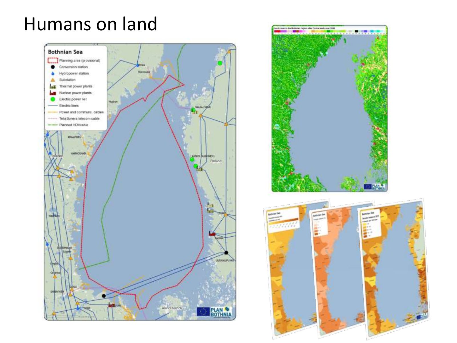
Slide 11 of 14: Humans on land
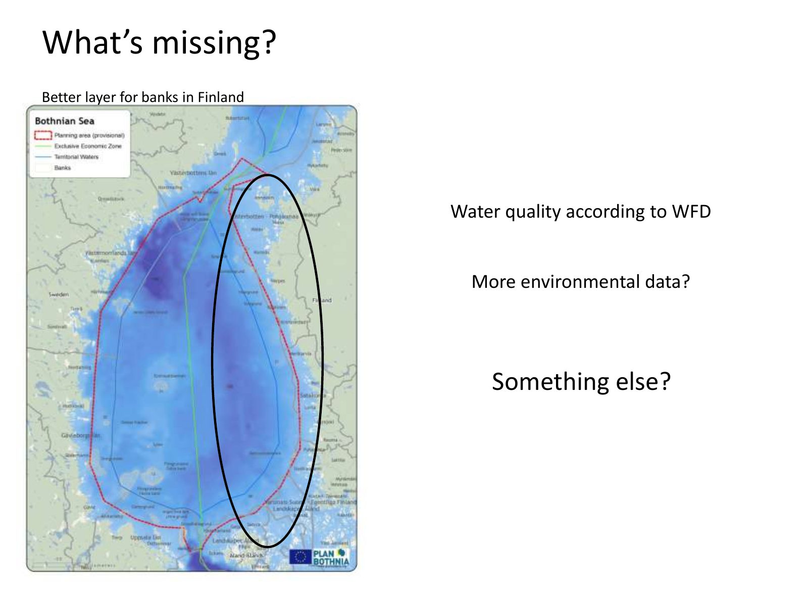
Slide 12 of 14: What’s missing? Better layer for banks in Finland Water quality according to WFD More environmental data? Something else?
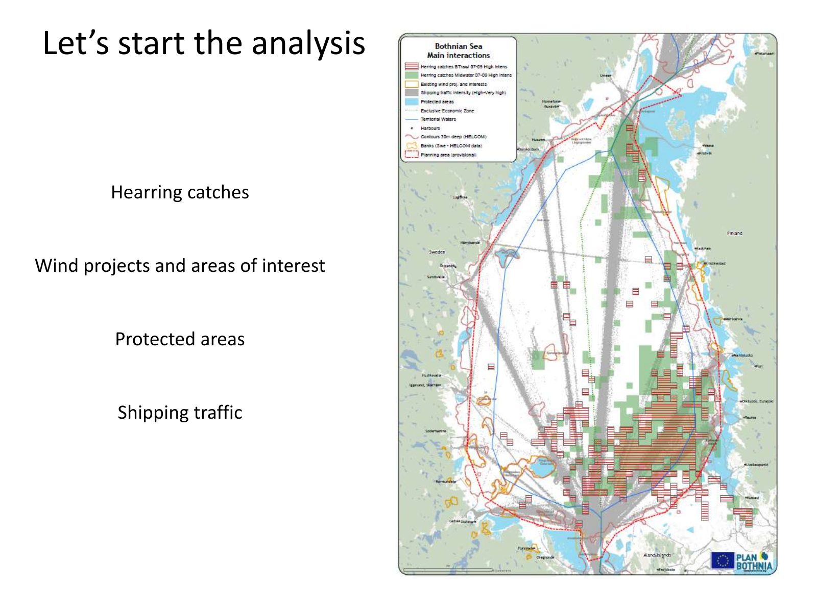
Slide 13 of 14: Let’s start the analysis Hearring catches Wind projects and areas of interest Protected areas Shipping traffic
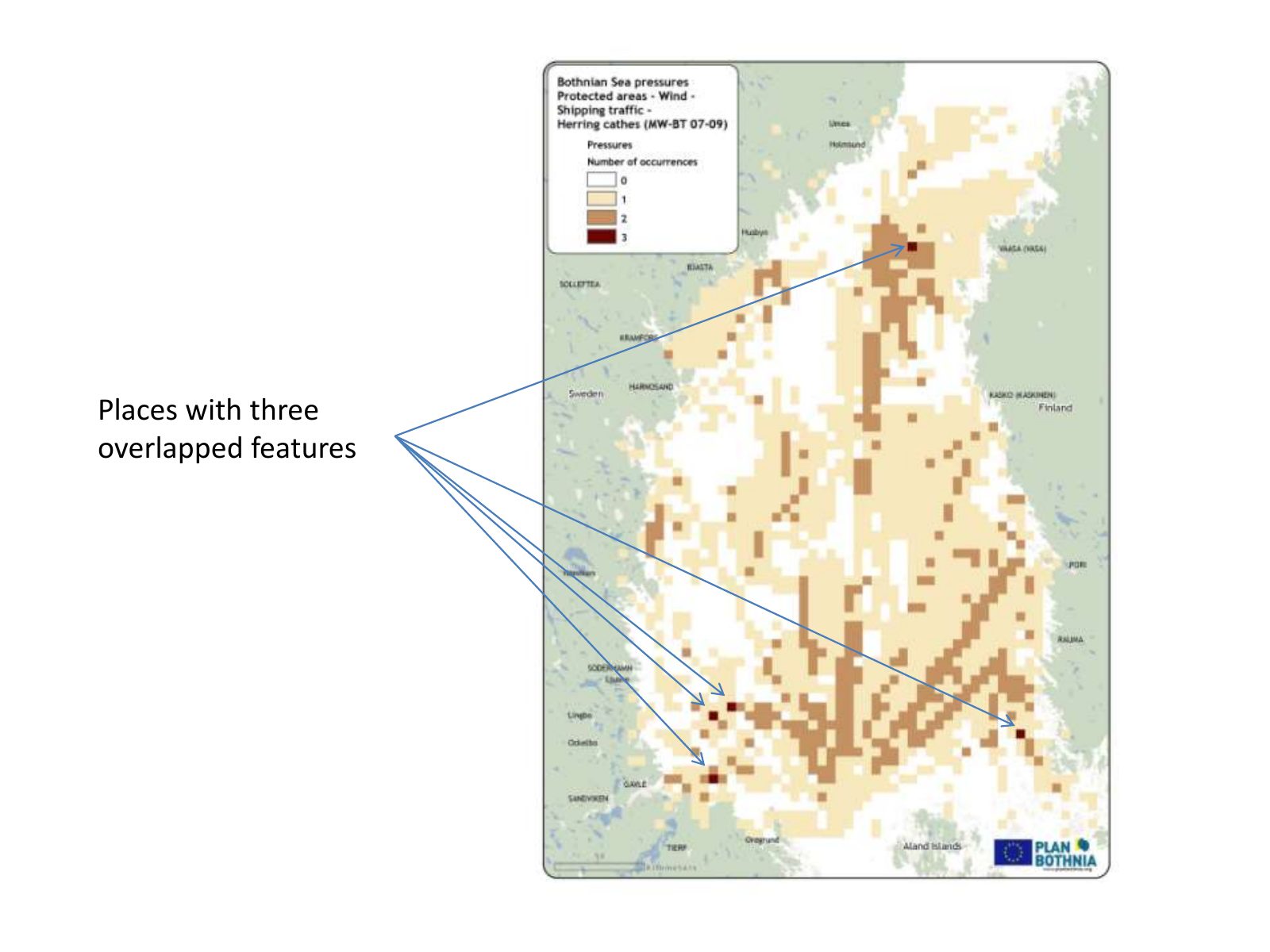
Slide 14 of 14: Places with three overlapped features
1 / 14
Swipe, use the arrows or the keyboard arrow keys. Download the slides (PDF, 0.8 MB)

← All stories