Testing a transboundary Maritime Spatial Planning

2011 · 29 slides · MSP in the Baltic

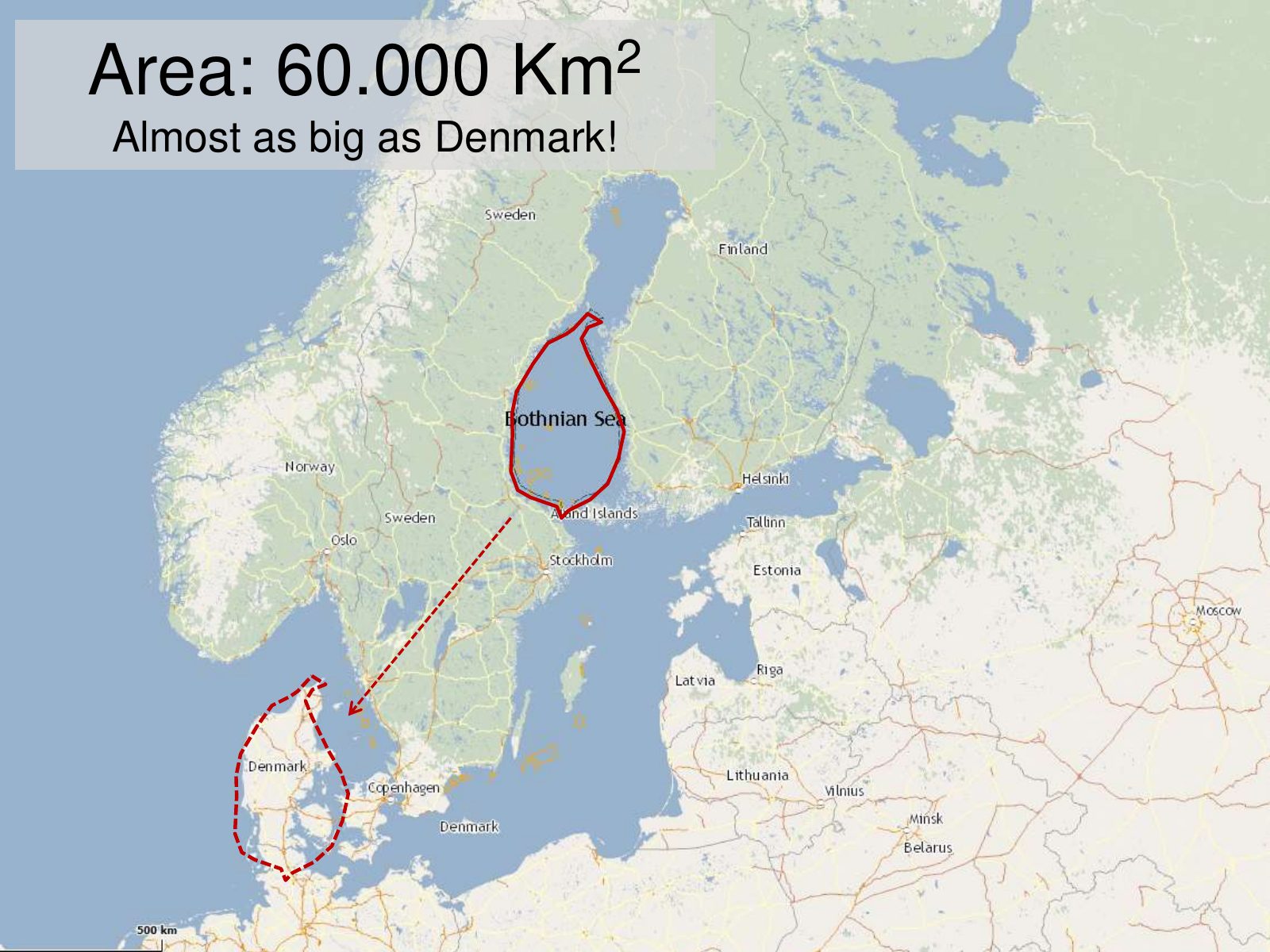
A pilot of transboundary planning in the 60,000 km² Bothnian Sea, presented at a seminar in Szczecin.
Slide 1 of 29: Testing a transboundary Maritime Spatial Planning Manuel Frias Project Officer Seminar on spatial planning in maritime and coastal areas Szczecin (Poland) 22…
Slide 2 of 29: The Bothnian Sea
Slide 3 of 29: Area: 60.000 Km2 Almost as big as Denmark!
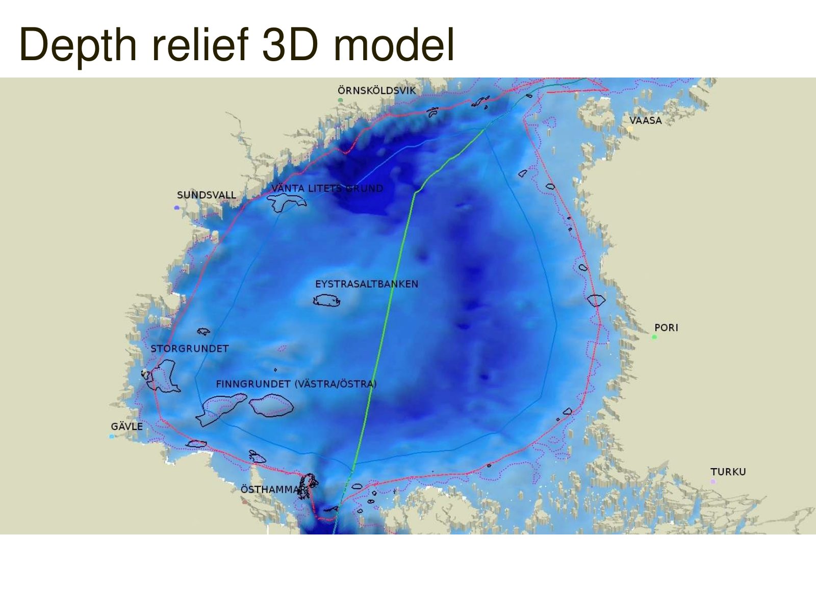
Slide 4 of 29: Depth relief 3D model
Slide 5 of 29: picture slide without text
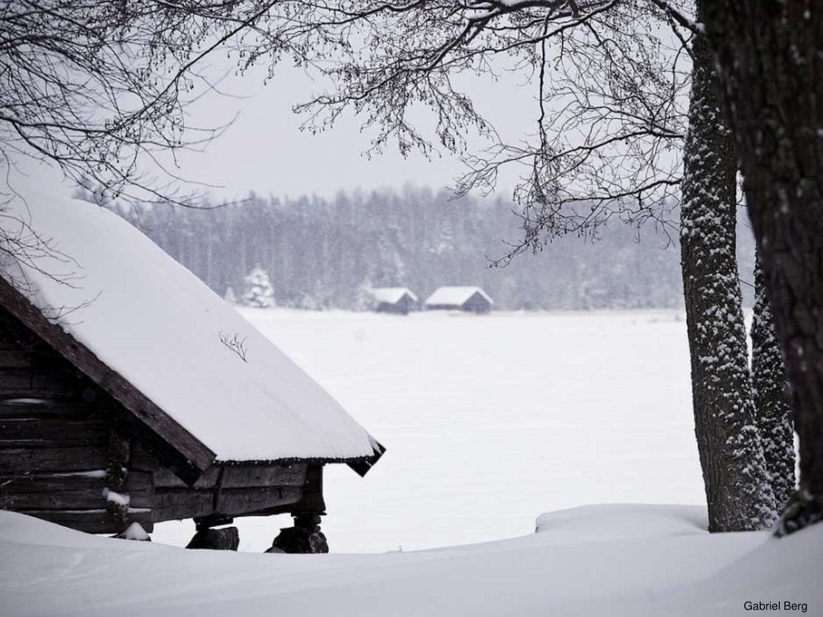
Slide 6 of 29: Gabriel Berg
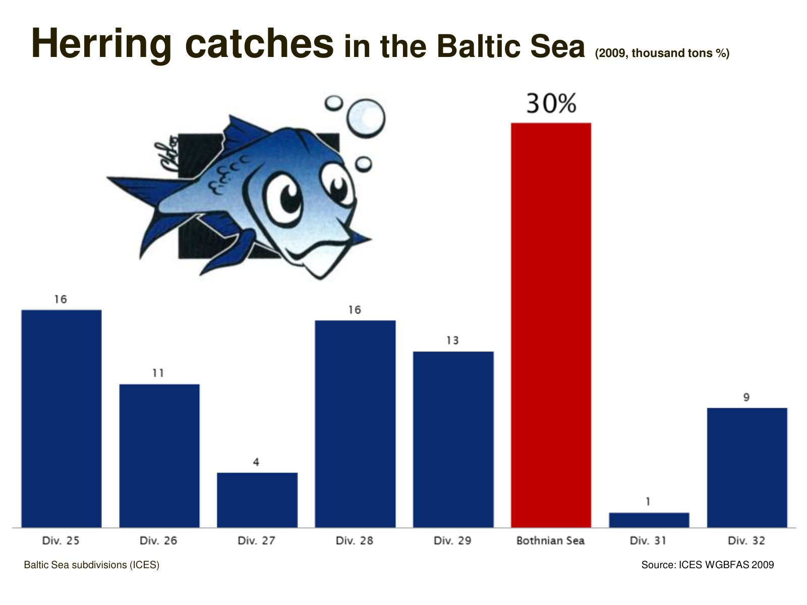
Slide 7 of 29: Herring catches in the Baltic Sea (2009, thousand tons %) Baltic Sea subdivisions (ICES) Source: ICES WGBFAS 2009
Slide 8 of 29: What is Plan Bothnia?
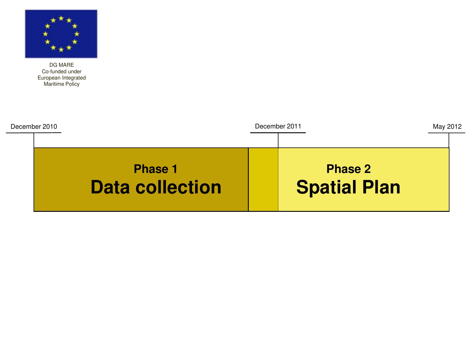
Slide 9 of 29: DG MARE Co-funded under European Integrated Maritime Policy December 2010 December 2011 May 2012 Phase 1 Phase 2 Data collection Spatial Plan
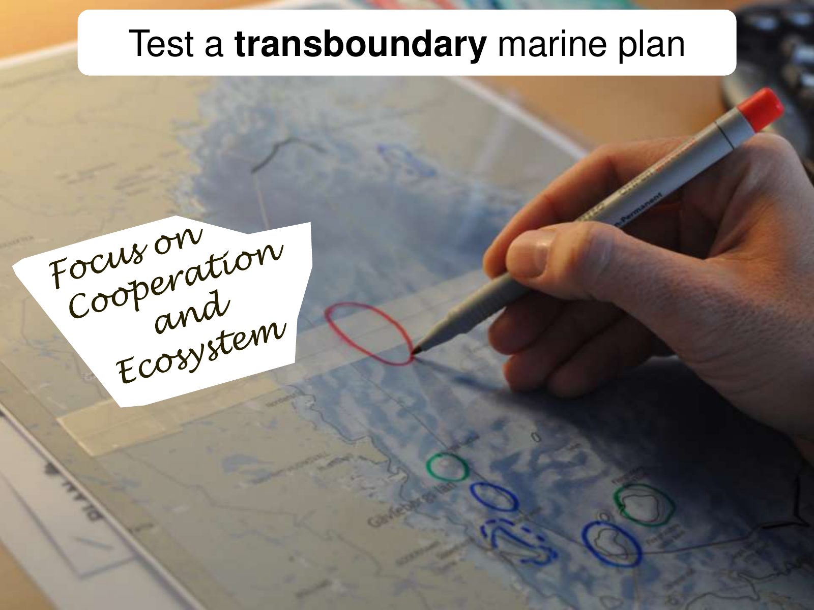
Slide 10 of 29: Test a transboundary marine plan
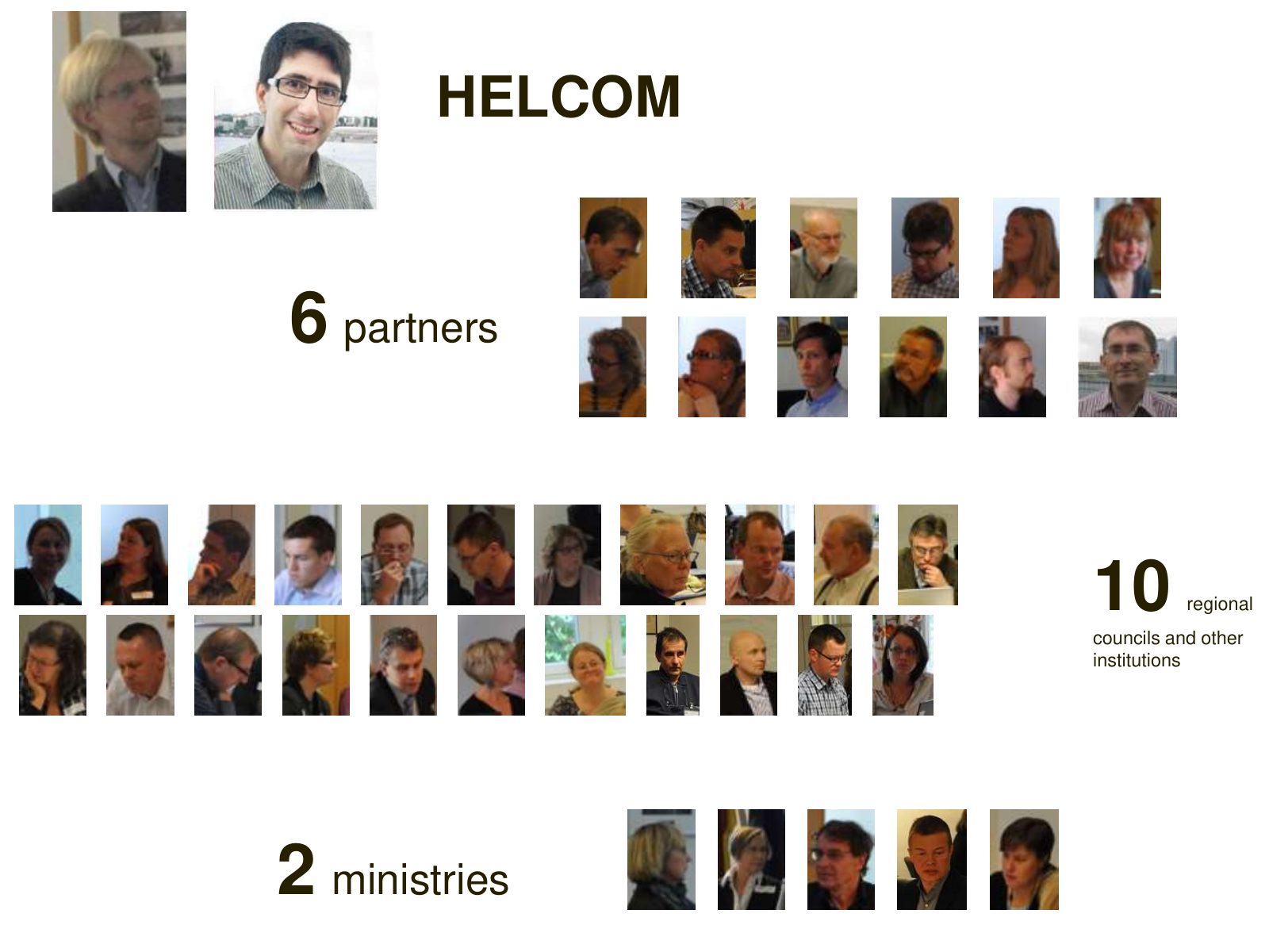
Slide 11 of 29: HELCOM 6 partners 10 regional councils and other institutions 2 ministries
Slide 12 of 29: How?
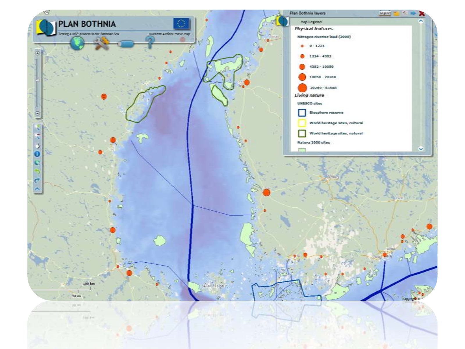
Slide 13 of 29: Open regional databases
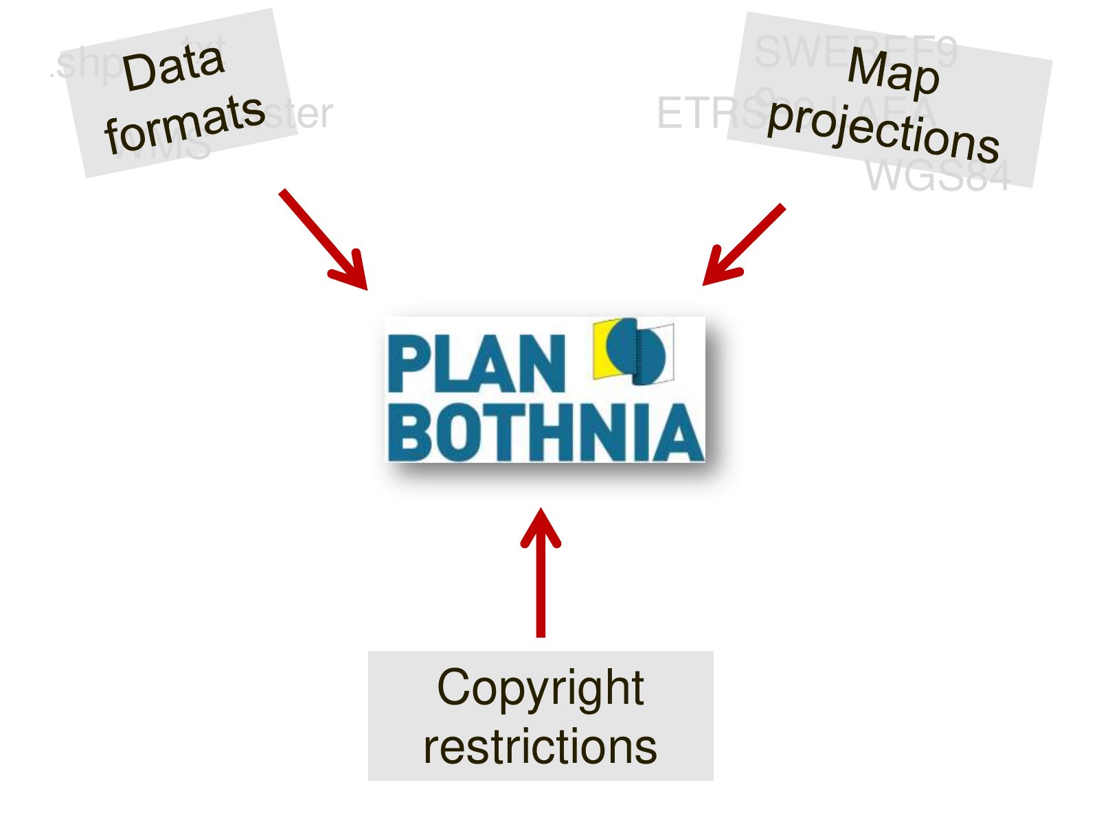
Slide 14 of 29: .shp .txt SWEREF9 raster 9 LAEA ETRS89 WMS WGS84 Copyright restrictions
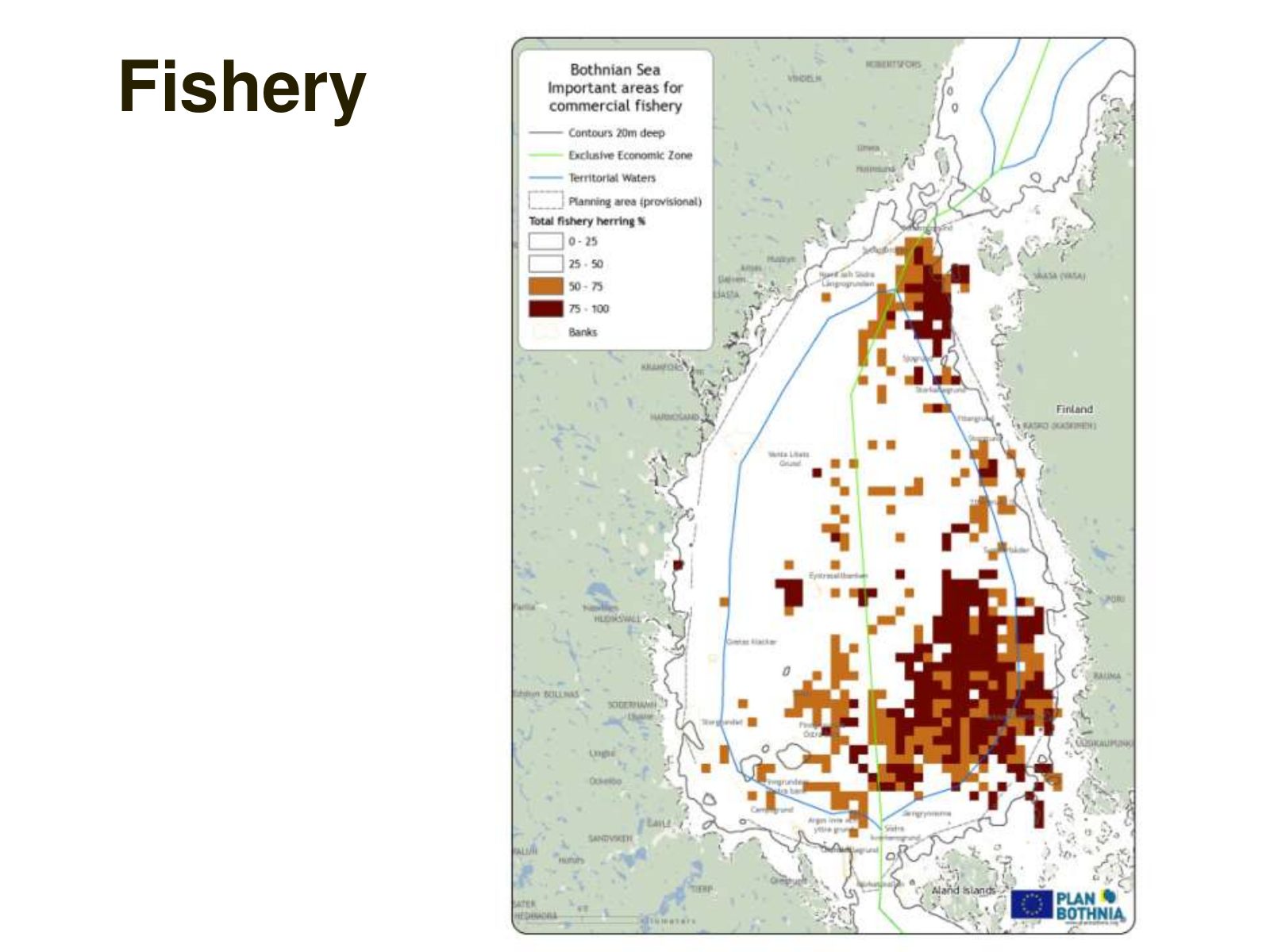
Slide 15 of 29: Fishery
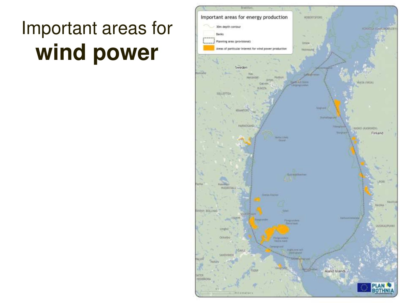
Slide 16 of 29: Important areas for wind power
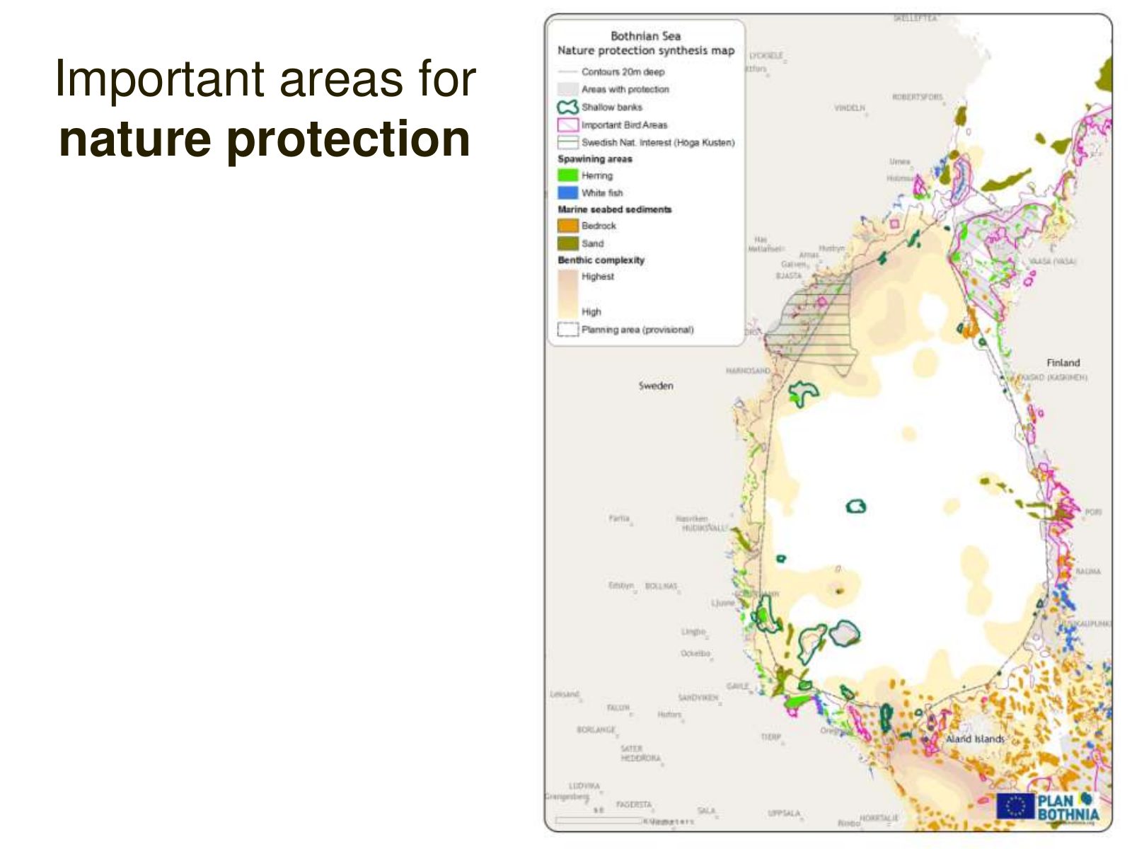
Slide 17 of 29: Important areas for nature protection
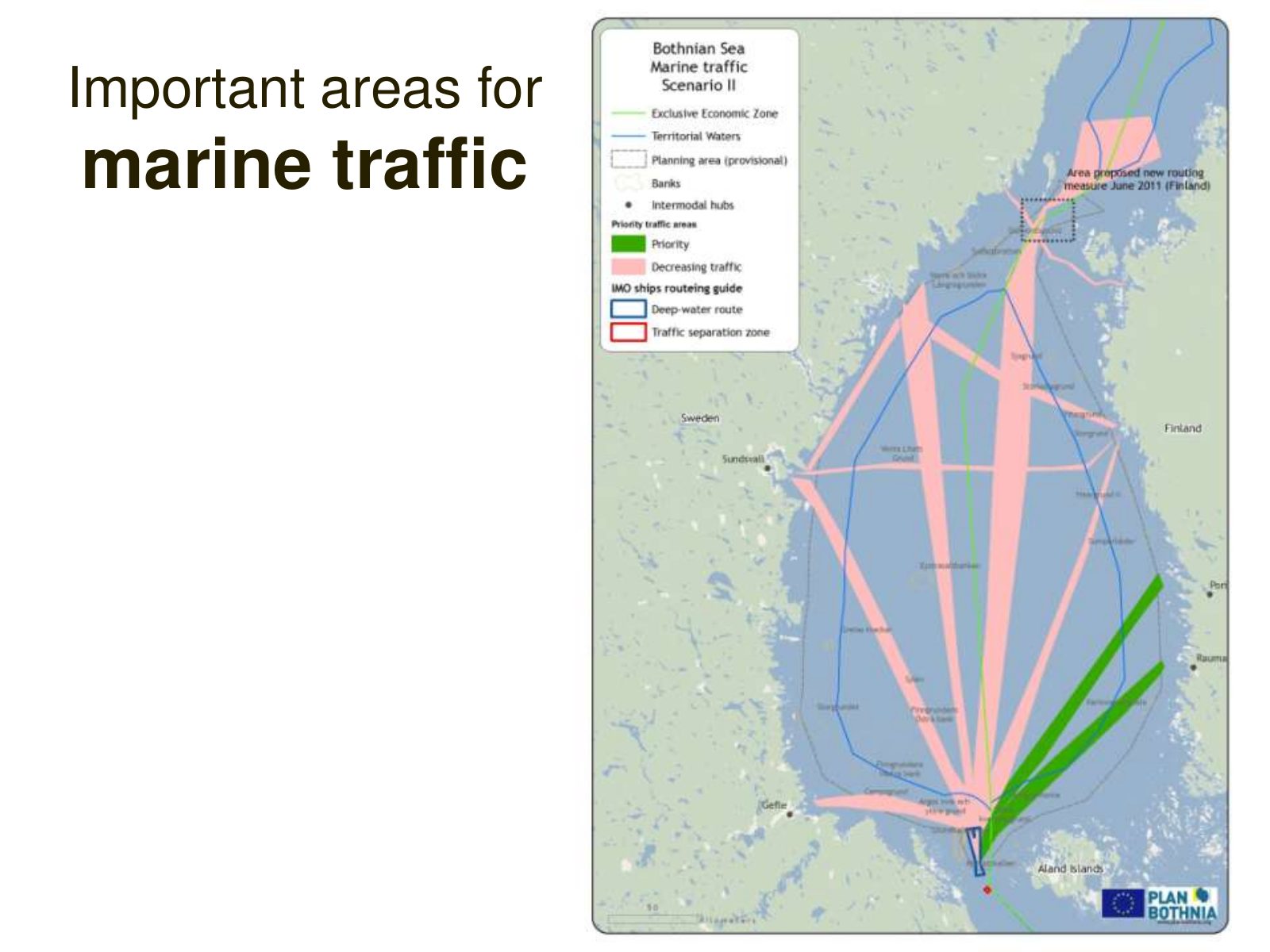
Slide 18 of 29: Important areas for marine traffic
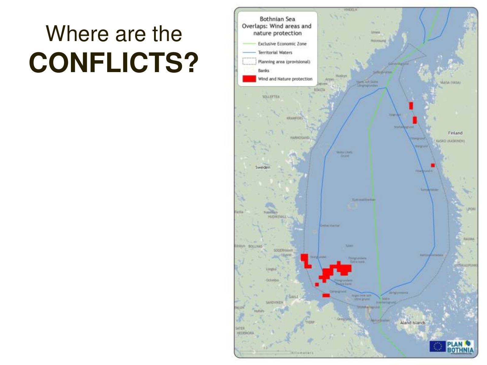
Slide 19 of 29: Where are the CONFLICTS?
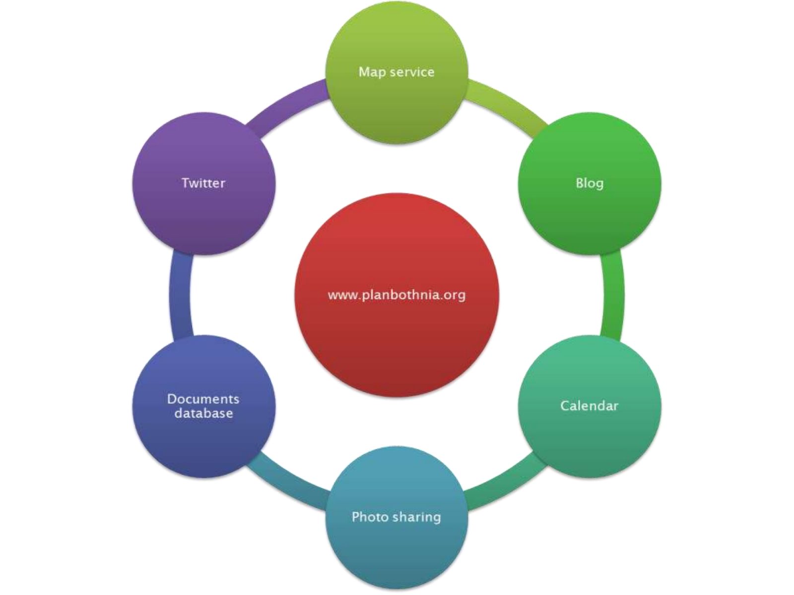
Slide 20 of 29: We like sharing!
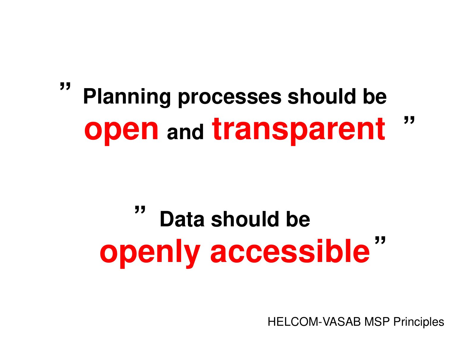
Slide 21 of 29: ” Planning processes should be open and transparent ” ” Data should be openly accessible ” HELCOM-VASAB MSP Principles
Slide 22 of 29: picture slide without text
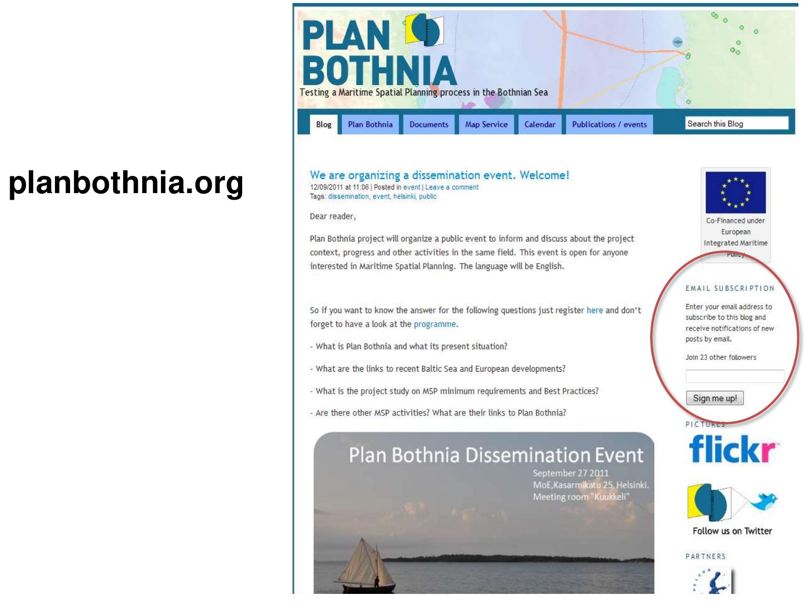
Slide 23 of 29: planbothnia.org
Slide 24 of 29: picture slide without text
Slide 25 of 29: Summing up
Slide 26 of 29: picture slide without text
Slide 27 of 29: picture slide without text
Slide 28 of 29: Sharing is good for everyone! Ed Yourdon
Slide 29 of 29: Thank you! DG MARE planbothnia.org
1 / 29
Swipe, use the arrows or the keyboard arrow keys. Download the slides (PDF, 1.2 MB)

← All stories