GIS in the Plan Bothnia project

2011 · 7 slides · MSP in the Baltic

A short presentation on the use of GIS in Plan Bothnia, given at a planning seminar.
Slide 1 of 7: Manuel Frias. Planning Seminar. March 2011
Slide 2 of 7: picture slide without text
Slide 3 of 7: picture slide without text
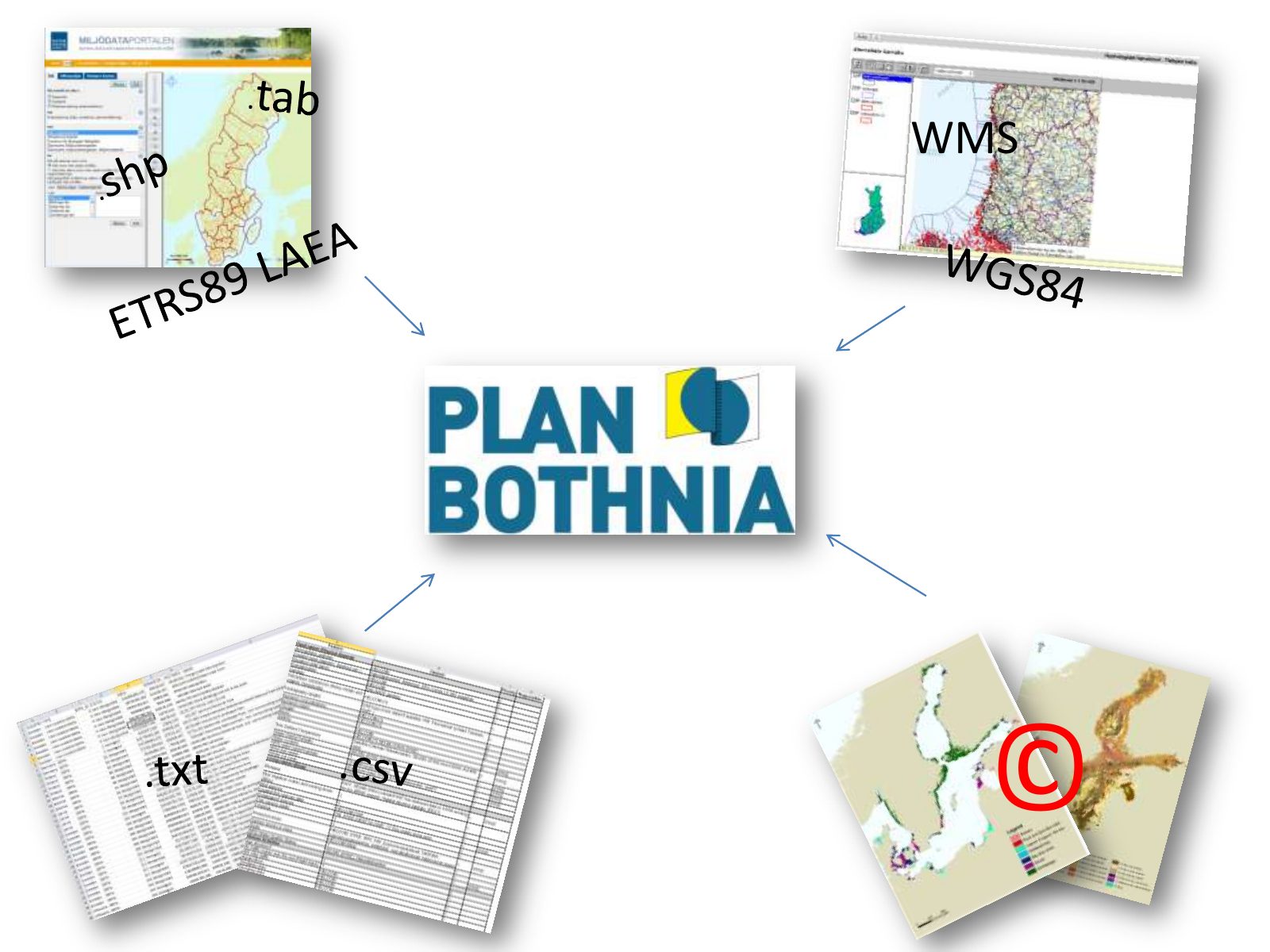
Slide 4 of 7: WMS ©
Slide 5 of 7: picture slide without text
Slide 6 of 7: picture slide without text
Slide 7 of 7: picture slide without text
1 / 7
Swipe, use the arrows or the keyboard arrow keys. Download the slides (PDF, 0.4 MB)

← All stories