How a seed became a tree

2019 · 64 slides · HELCOM data & GIS

The story of how the Baltic MSP community built a system, based on a marine spatial data infrastructure, to access planning data.
Slide 1 of 64: How a seed became a tree Or how we built a system based on an MSDI to access MSP data Manuel Frias- HELCOM Secretariat
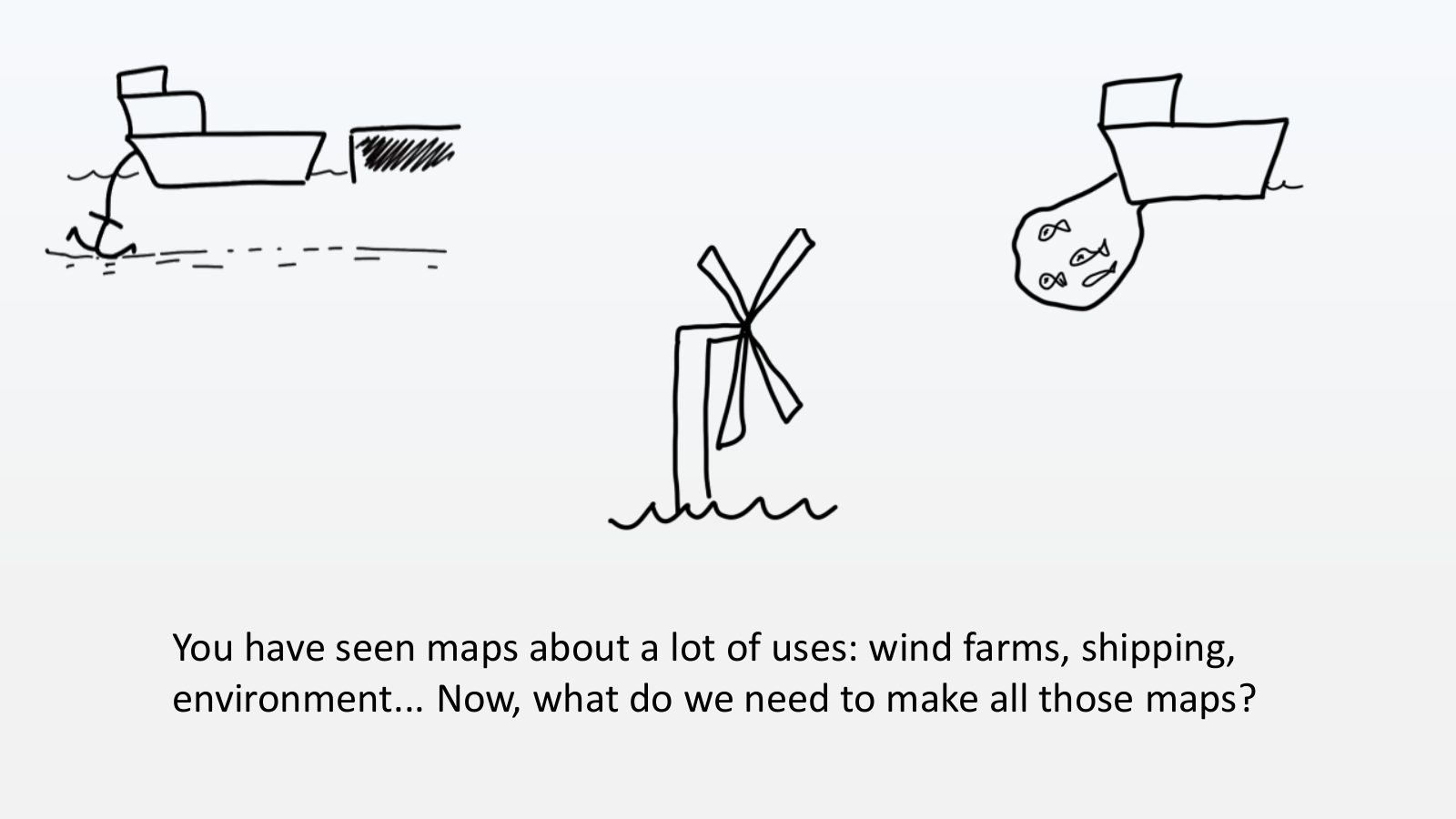
Slide 2 of 64: You have seen maps about a lot of uses: wind farms, shipping, environment... Now, what do we need to make all those maps?
Slide 3 of 64: Data, of course. The problem is...
Slide 4 of 64: ...data is always very difficult to get.
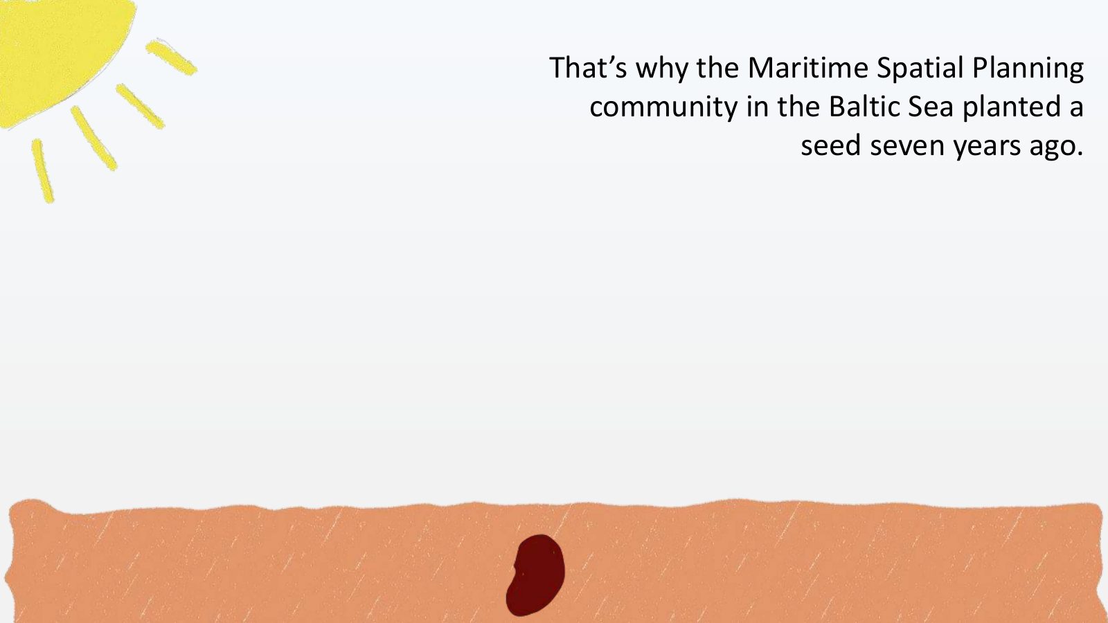
Slide 5 of 64: That’s why the Maritime Spatial Planning community in the Baltic Sea planted a seed seven years ago.
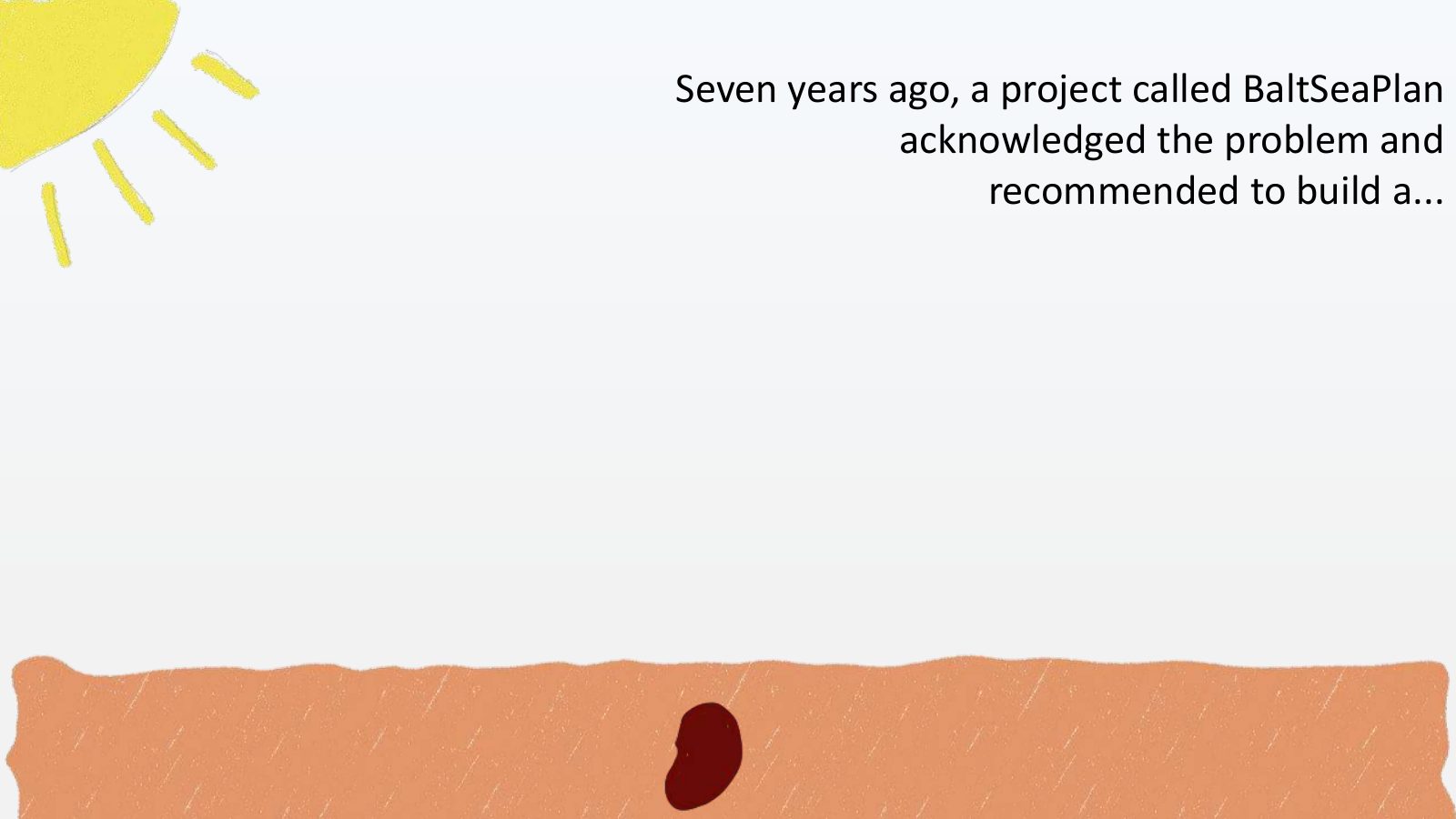
Slide 6 of 64: Seven years ago, a project called BaltSeaPlan acknowledged the problem and recommended to build a...
Slide 7 of 64: ...hold on tight to your seats...
Slide 8 of 64: ...system to access Maritime Spatial Planning data based on a Marine Spatial Data Infrastructure (MSDI) from which users can view and download data and metad…
Slide 9 of 64: A system to access Maritime Spatial Planning data based on a Marine Spatial Data Infrastructure (MSDI) from which users can view and download data and metada…
Slide 10 of 64: I guess some of you, are thinking “wow, that sounds so exciting”.
Slide 11 of 64: But I am afraid many of you are thinking “what the hell is this guy talking about?”
Slide 12 of 64: Let me explain in plain English...
Slide 13 of 64: We have developed a system (think of Google Maps for MSP) that potentially:
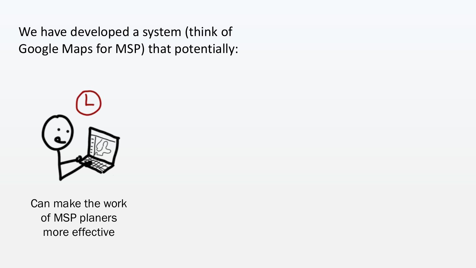
Slide 14 of 64: We have developed a system (think of Google Maps for MSP) that potentially: Can make the work of MSP planers more effective
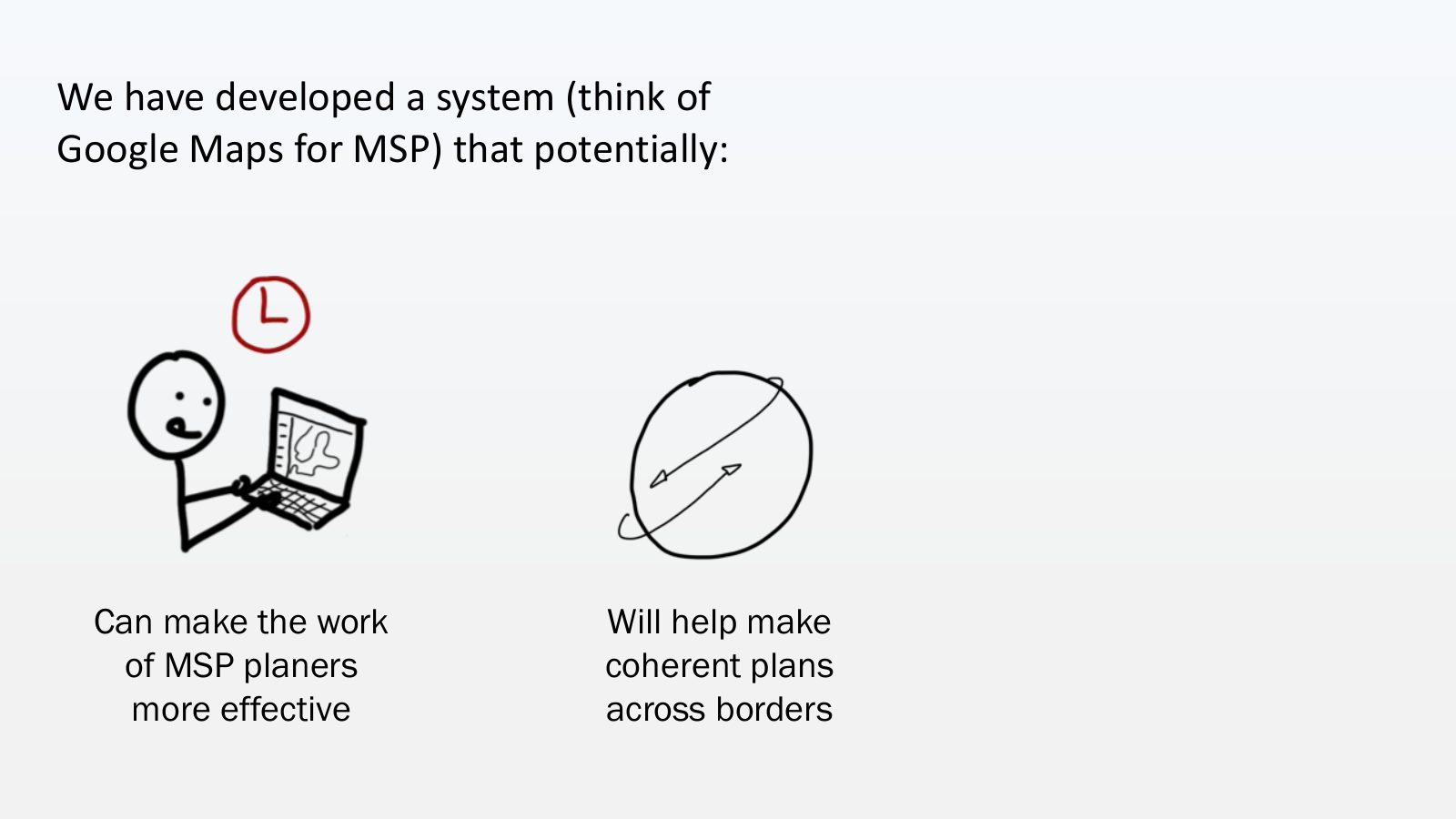
Slide 15 of 64: We have developed a system (think of Google Maps for MSP) that potentially: Can make the work Will help make of MSP planers coherent plans more effective acr…
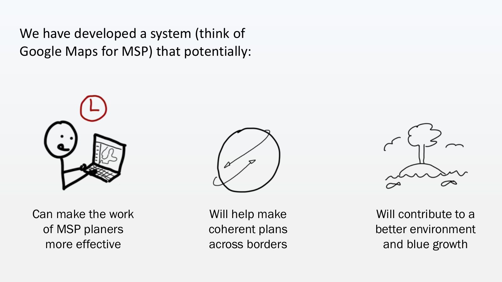
Slide 16 of 64: We have developed a system (think of Google Maps for MSP) that potentially: Can make the work Will help make Will contribute to a of MSP planers coherent pla…
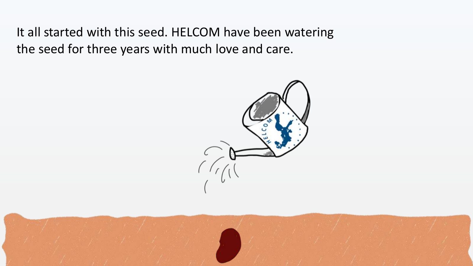
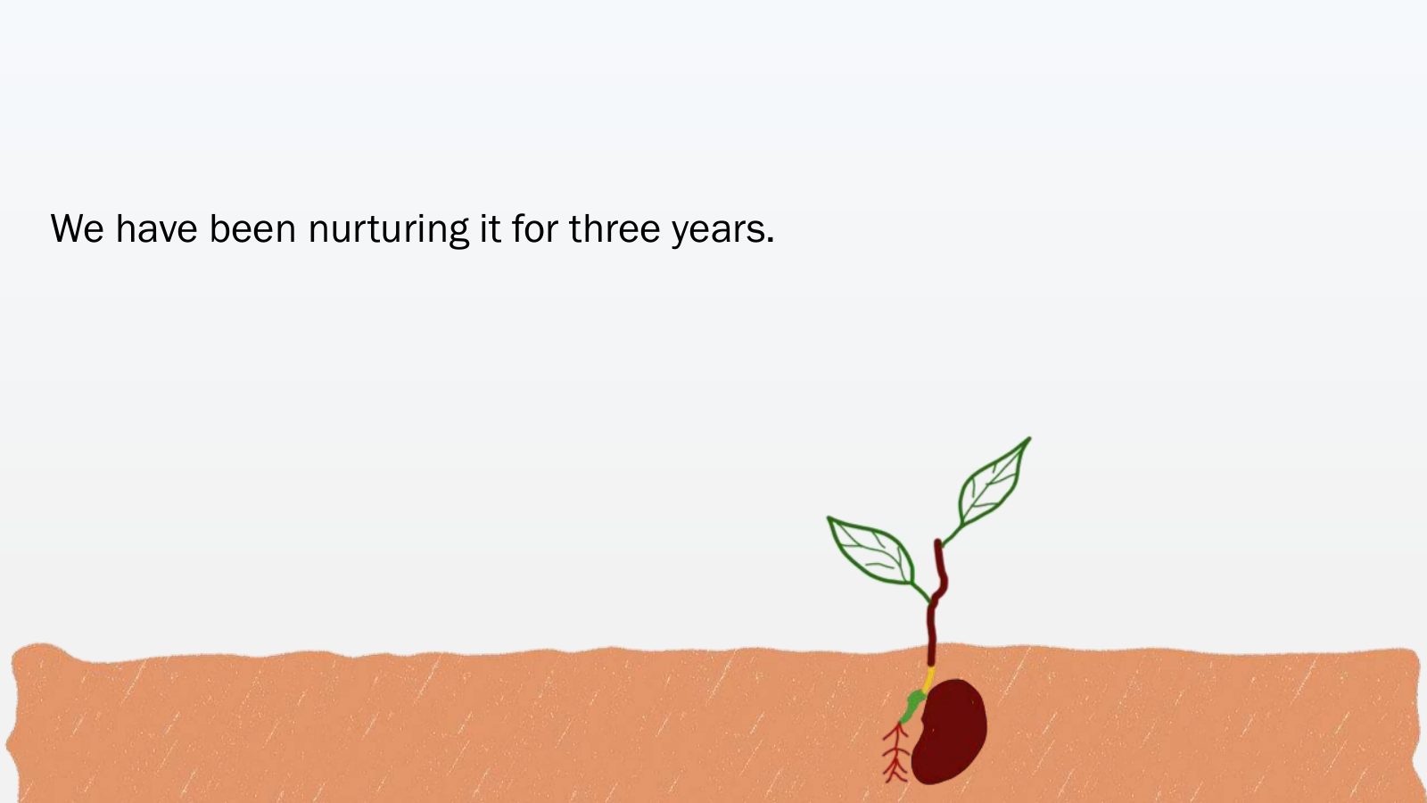
Slide 17 of 64: It all started with this seed. HELCOM have been watering the seed for three years with much love and care.
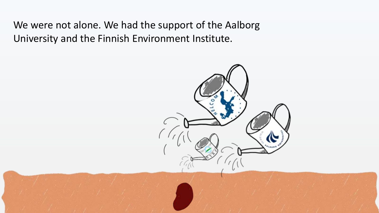
Slide 18 of 64: We were not alone. We had the support of the Aalborg University and the Finnish Environment Institute.
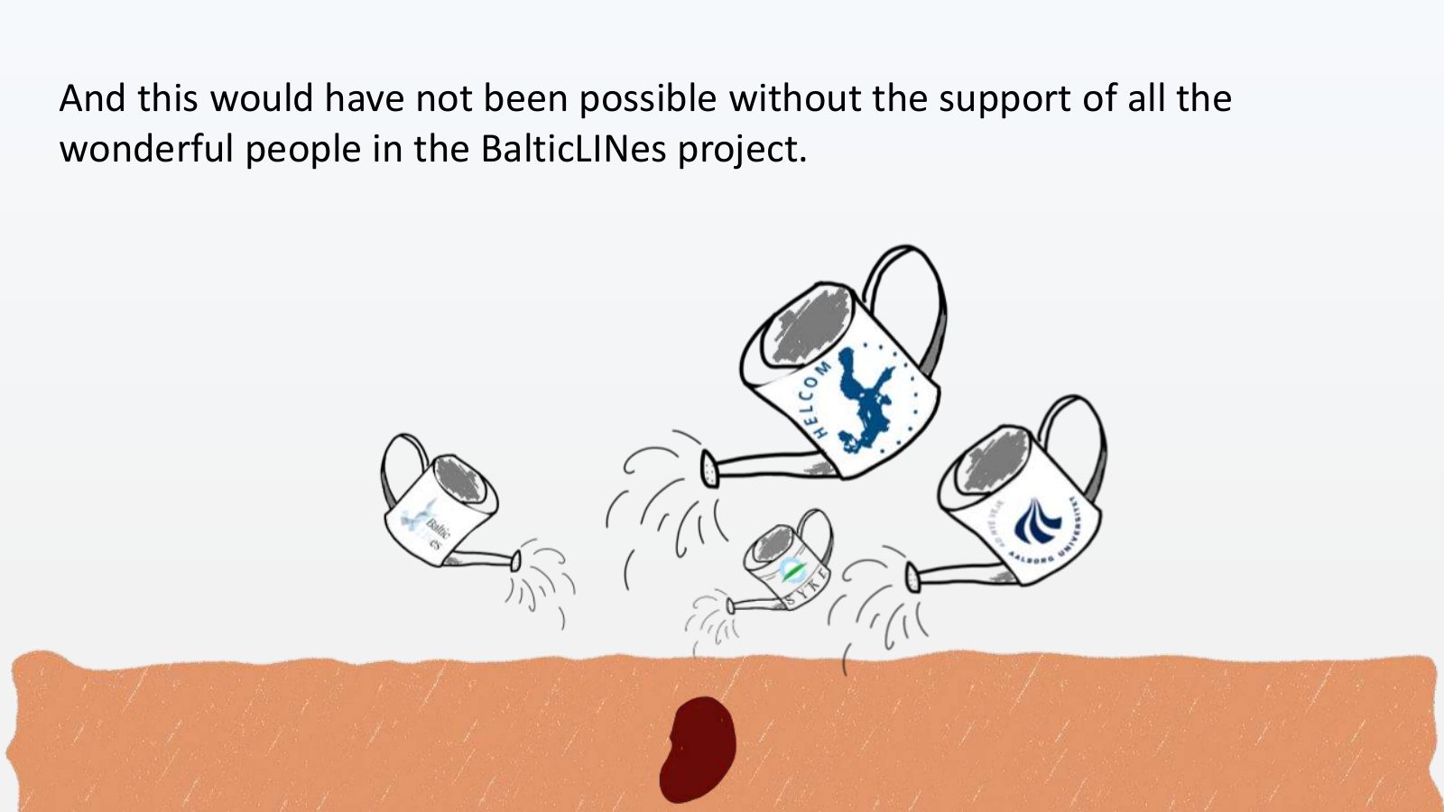
Slide 19 of 64: And this would have not been possible without the support of all the wonderful people in the BalticLINes project.
Slide 20 of 64: Do you want to see the result?
Slide 21 of 64: Before that, let me explain WHY we did it.
Slide 22 of 64: As I said, it’s very difficult to get data. But it’s even more difficult to get up-to-date data from your neighbours.
Slide 23 of 64: Why is it important to work with up-to-date data from your neighbours? Let me give you an example.
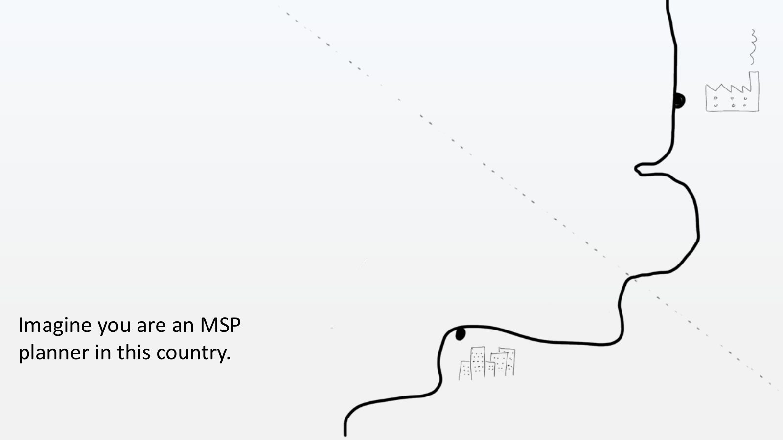
Slide 24 of 64: Imagine you are an MSP planner in this country.
Slide 25 of 64: Not this one!
Slide 26 of 64: But this one...
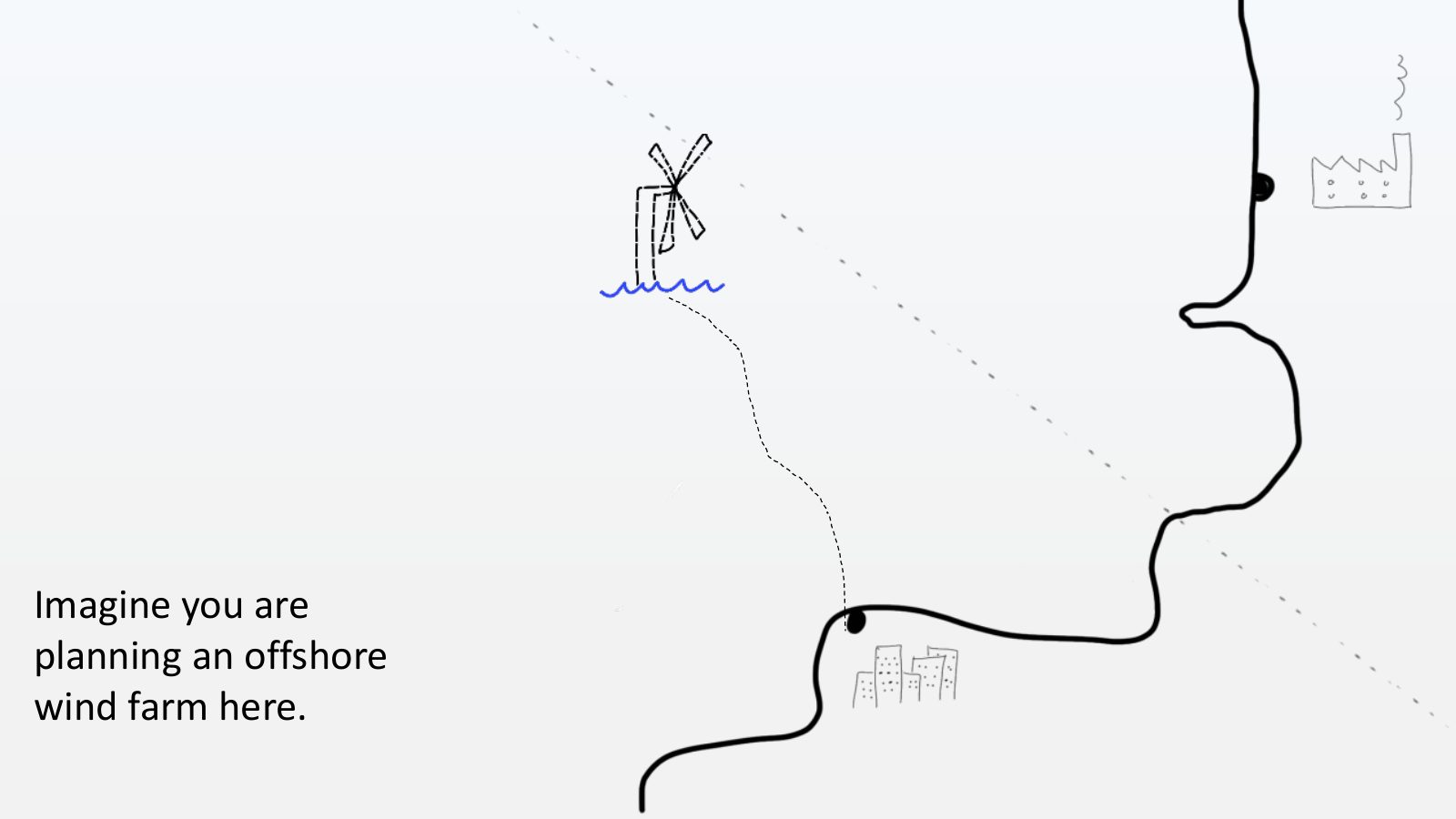
Slide 27 of 64: Imagine you are planning an offshore wind farm here.
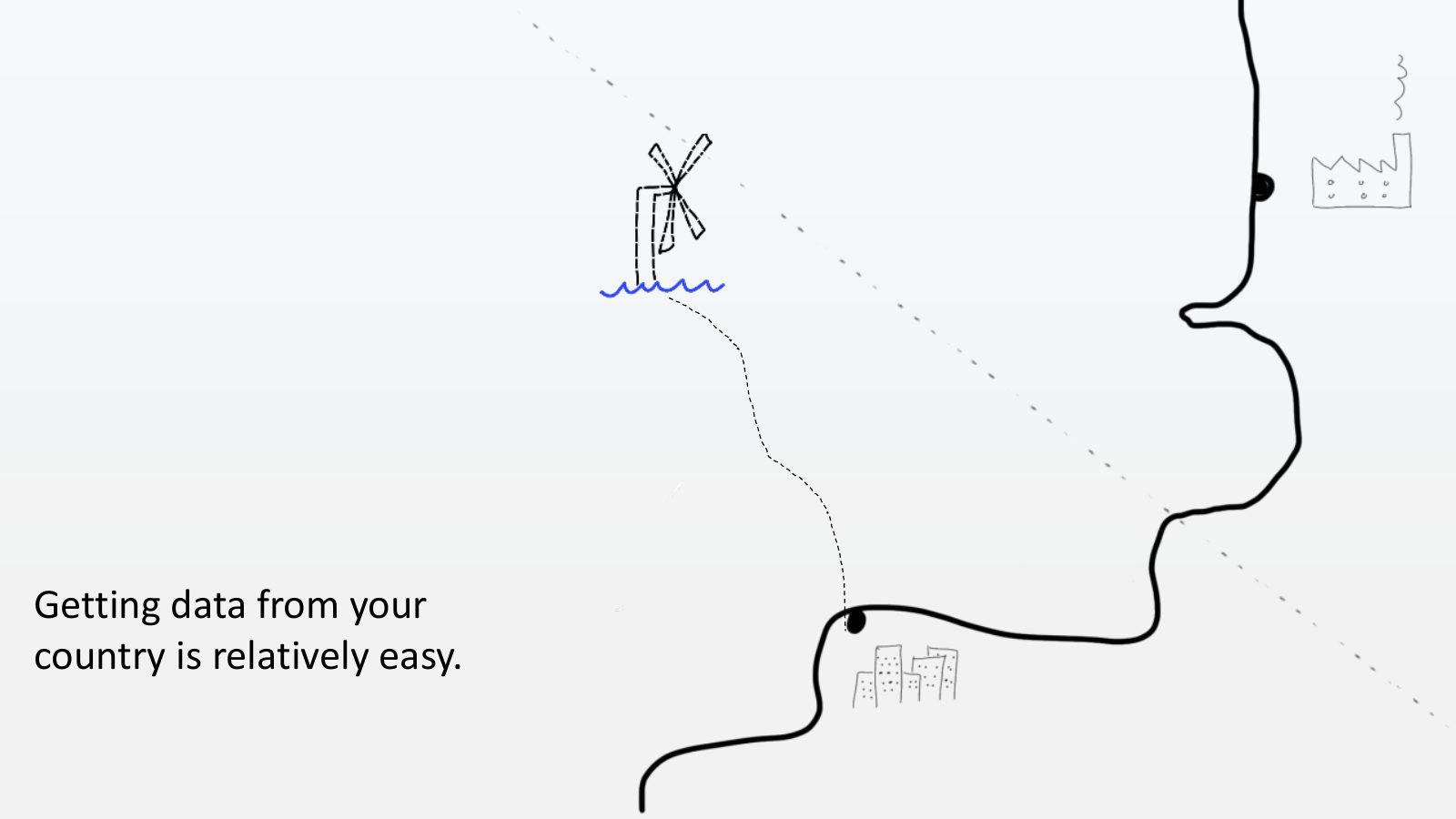
Slide 28 of 64: Getting data from your country is relatively easy.
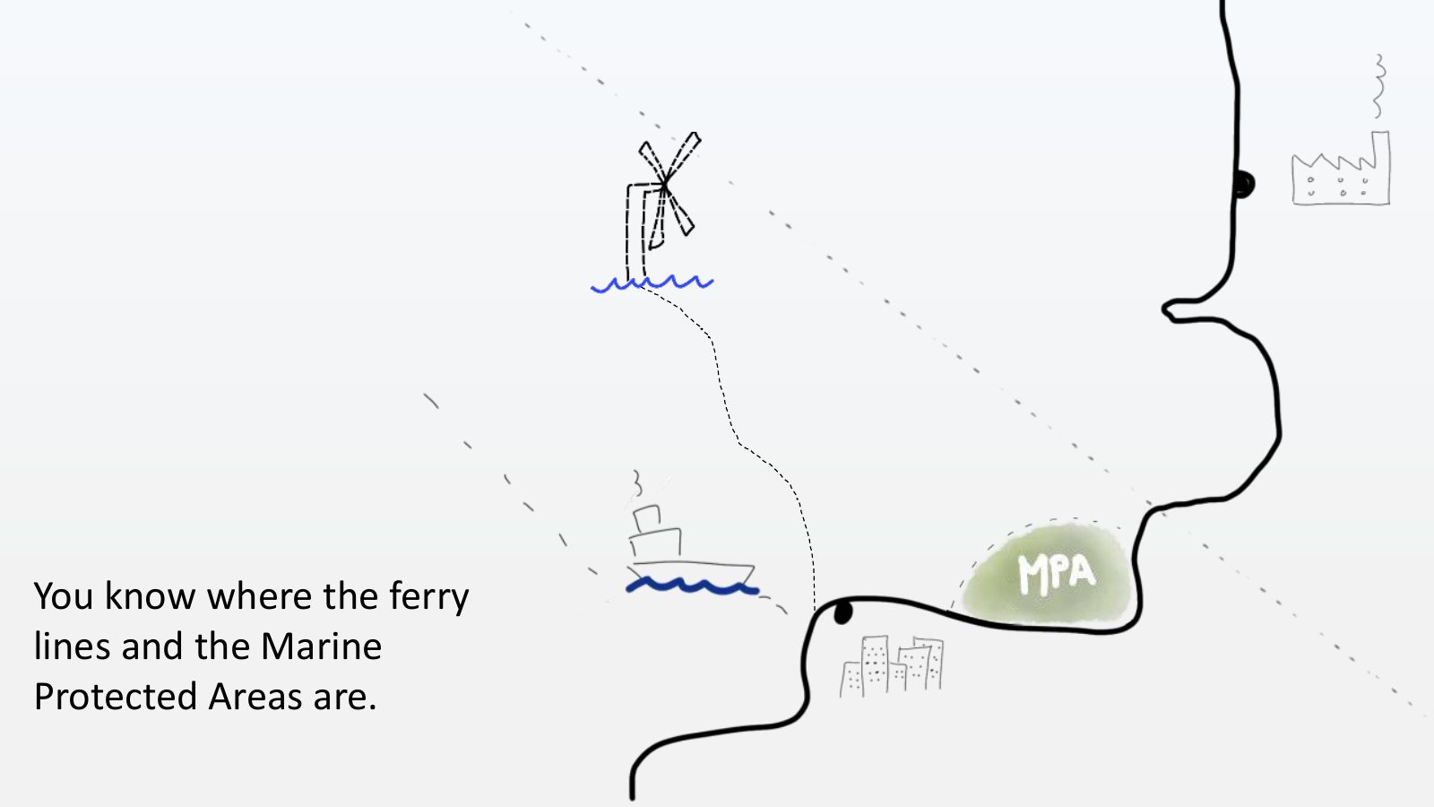
Slide 29 of 64: You know where the ferry lines and the Marine Protected Areas are.
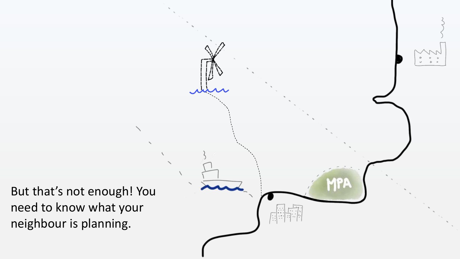
Slide 30 of 64: But that’s not enough! You need to know what your neighbour is planning.
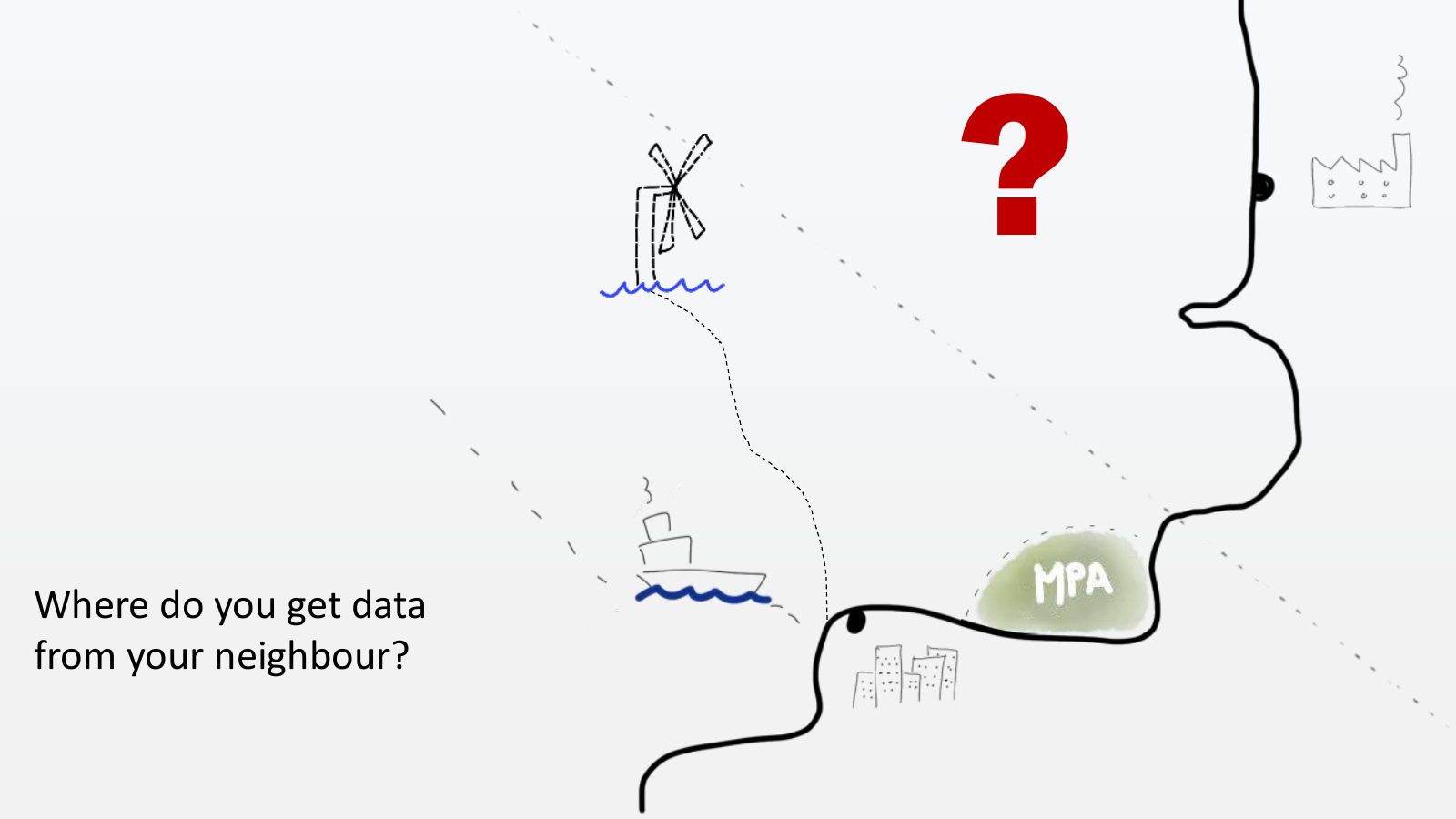
Slide 31 of 64: ? Where do you get data from your neighbour?
Slide 32 of 64: Before the BaltcLINes project planners had 1 option
Slide 33 of 64: A centralized database. How does it work?
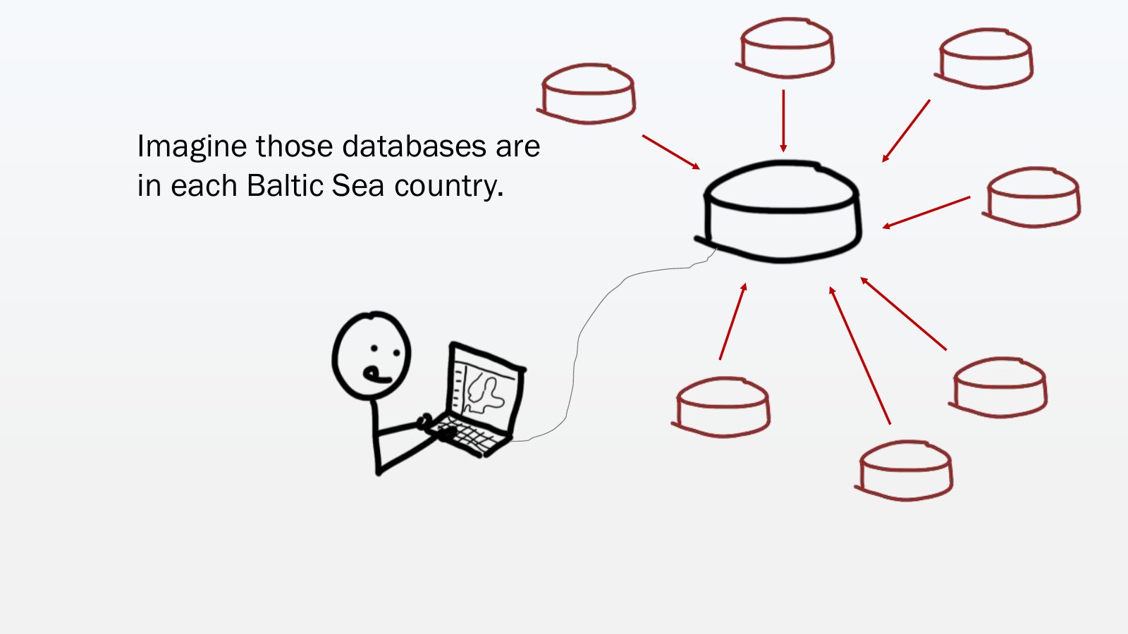
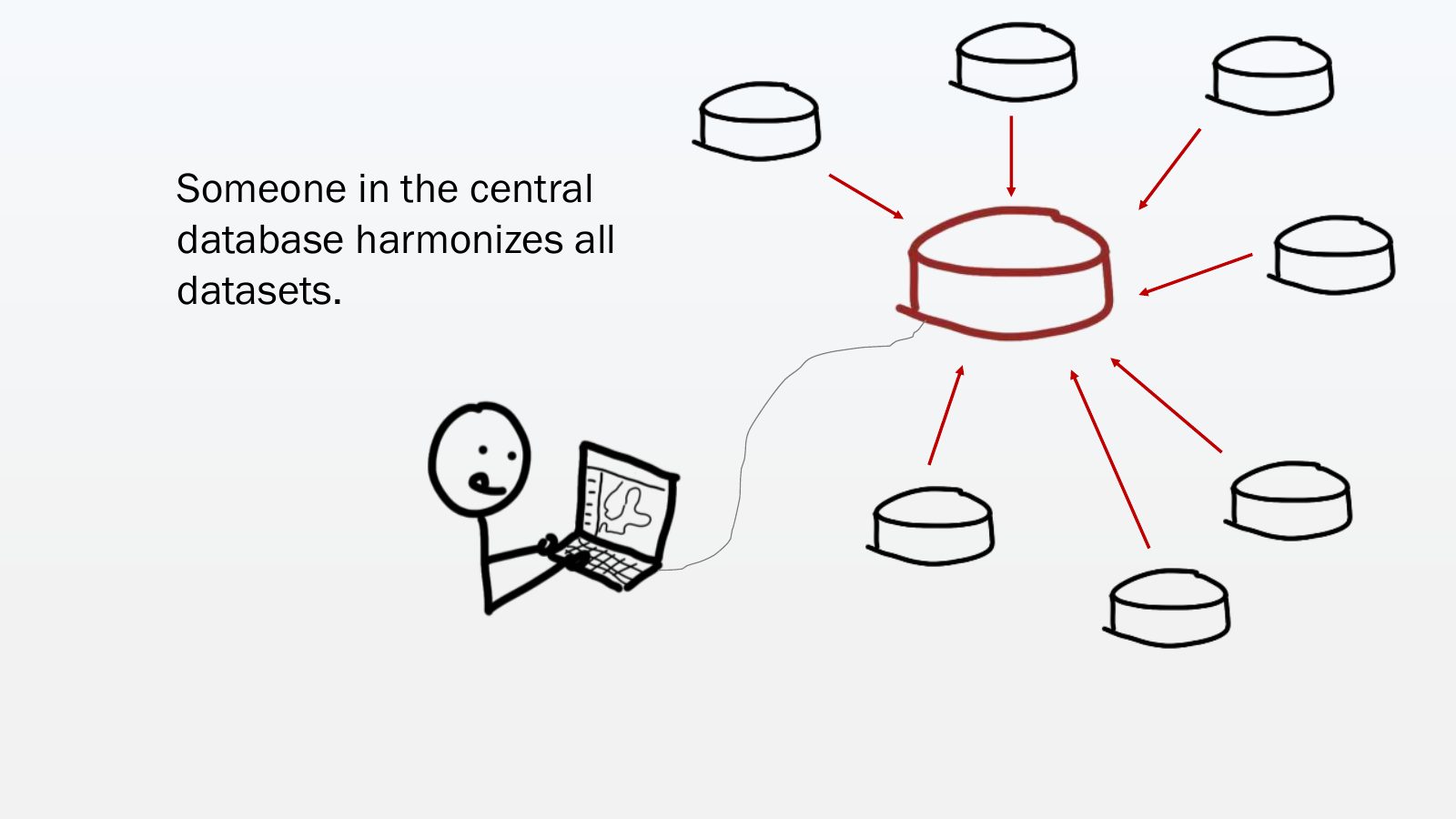
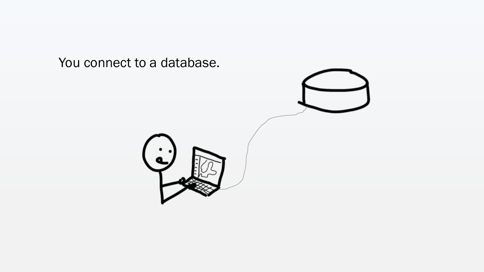
Slide 34 of 64: You connect to a database.
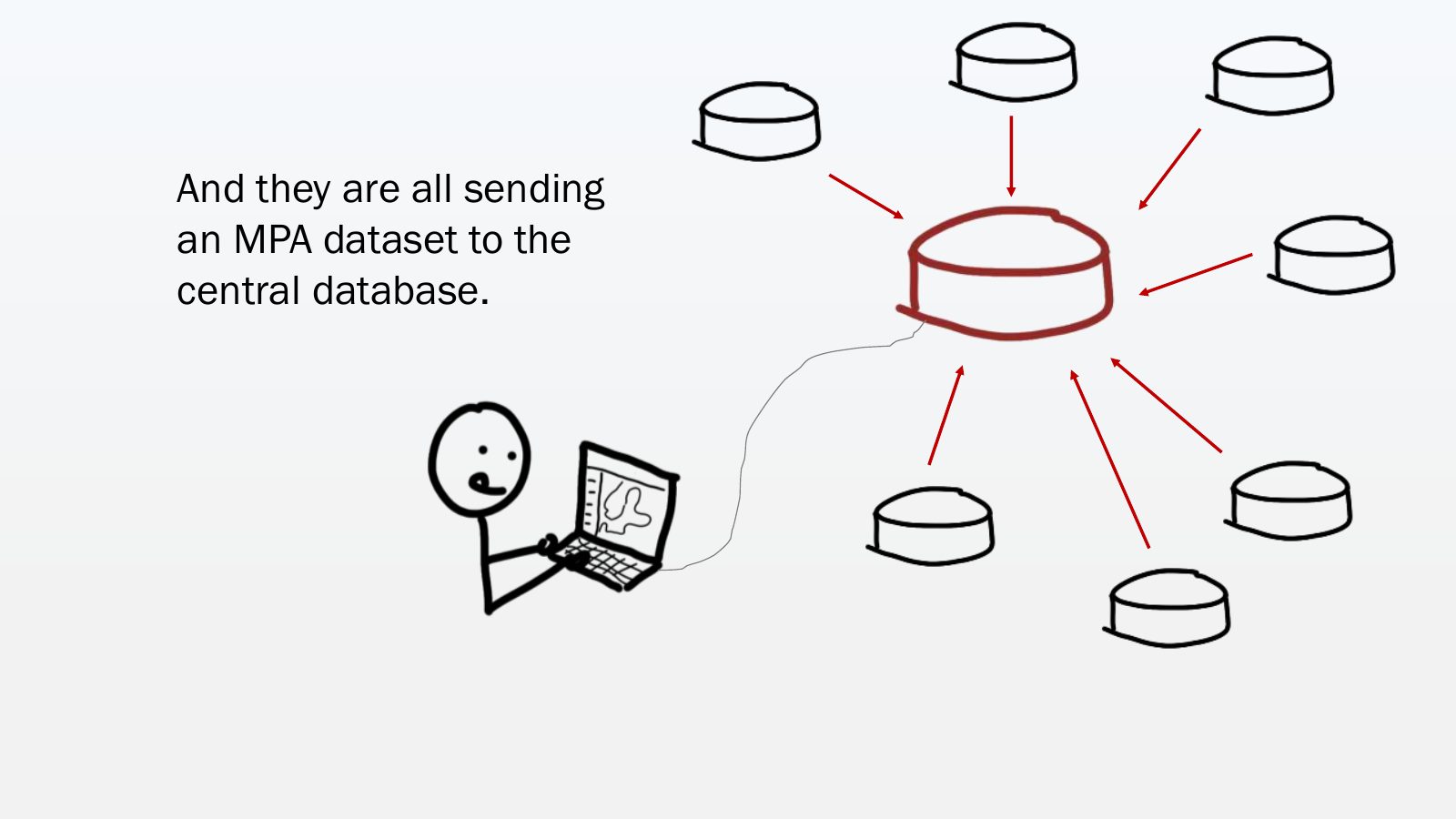
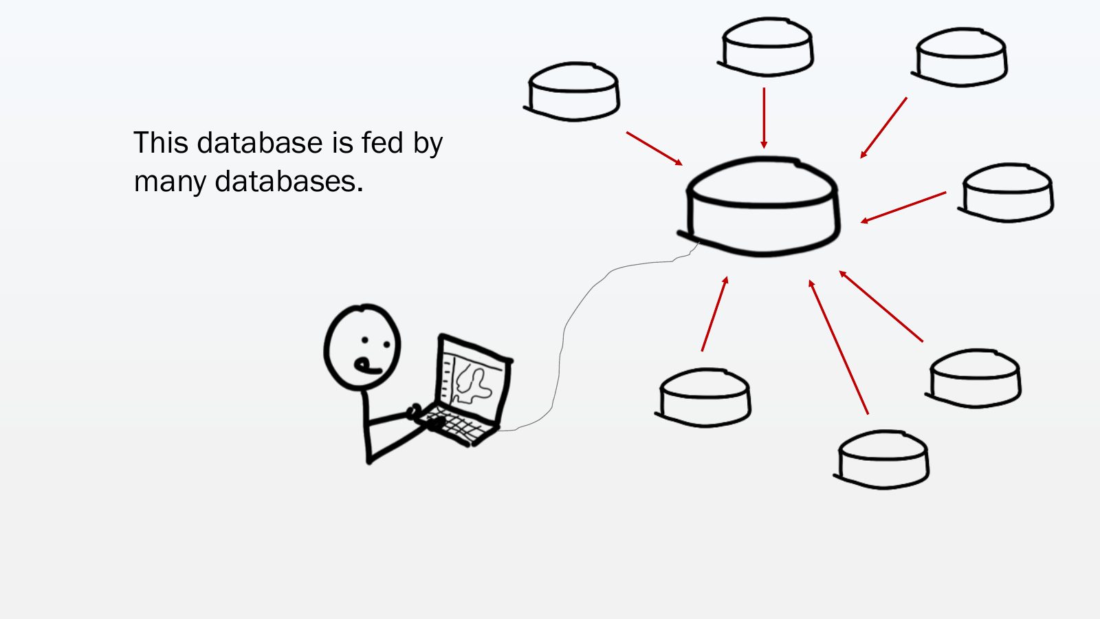
Slide 35 of 64: This database is fed by many databases.
Slide 36 of 64: Imagine those databases are in each Baltic Sea country.
Slide 37 of 64: And they are all sending an MPA dataset to the central database.
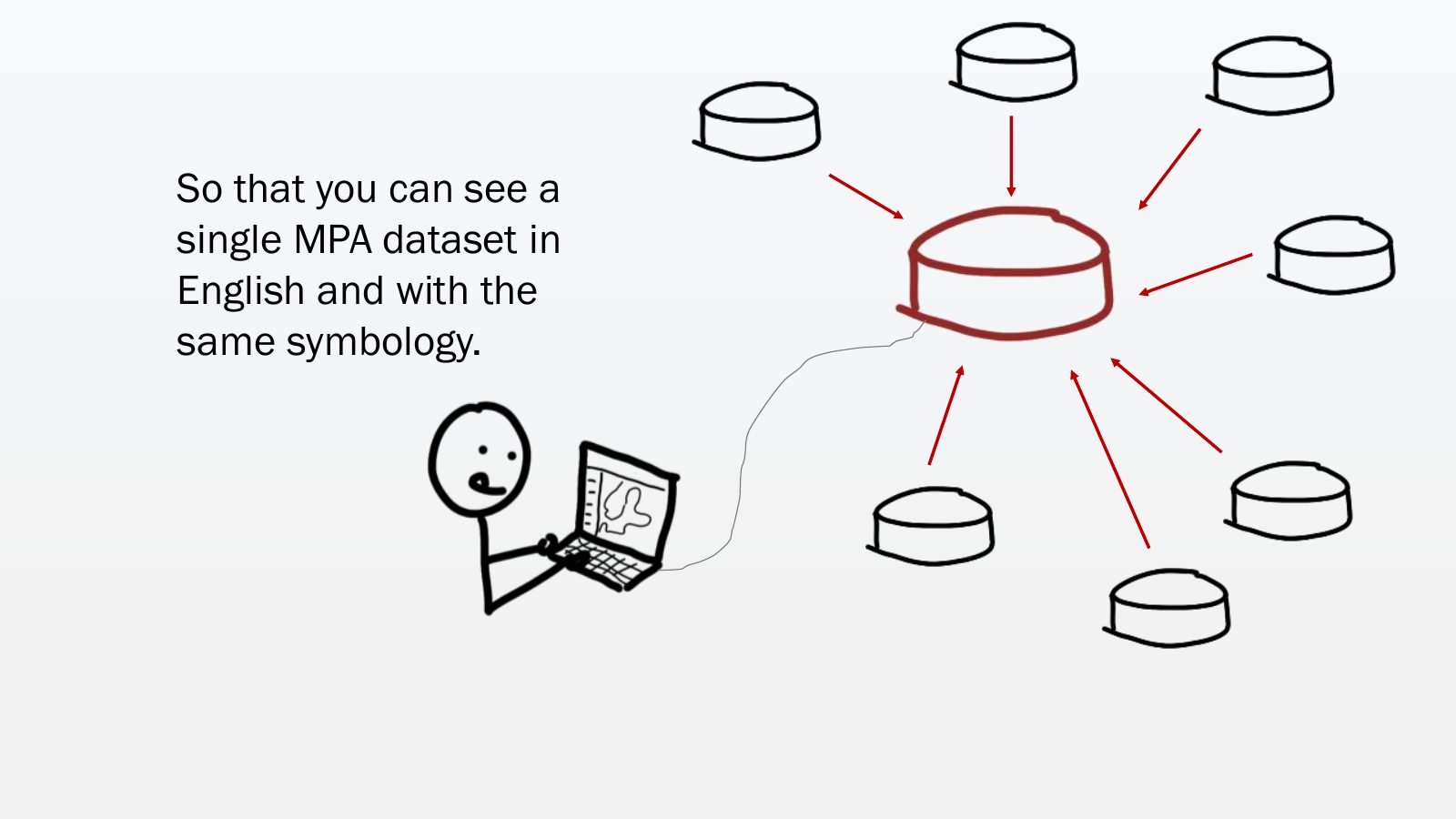
Slide 38 of 64: Someone in the central database harmonizes all datasets.
Slide 39 of 64: So that you can see a single MPA dataset in English and with the same symbology.
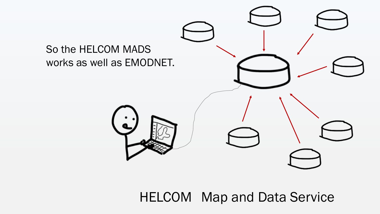
Slide 40 of 64: So the HELCOM MADS works as well as EMODNET. HELCOM Map and Data Service
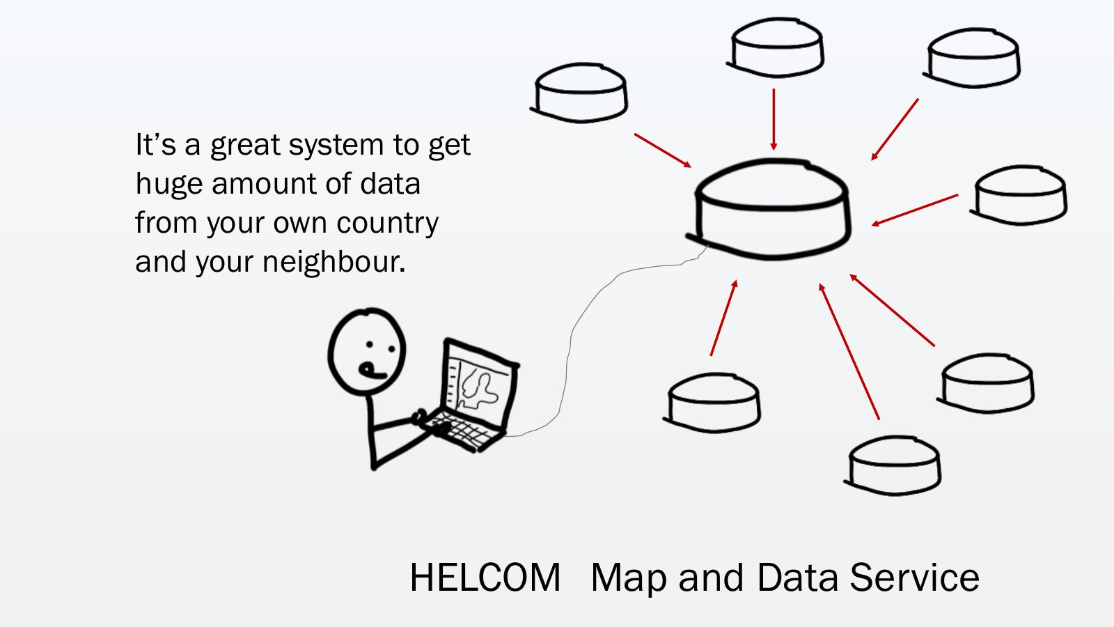
Slide 41 of 64: It’s a great system to get huge amount of data from your own country and your neighbour. HELCOM Map and Data Service
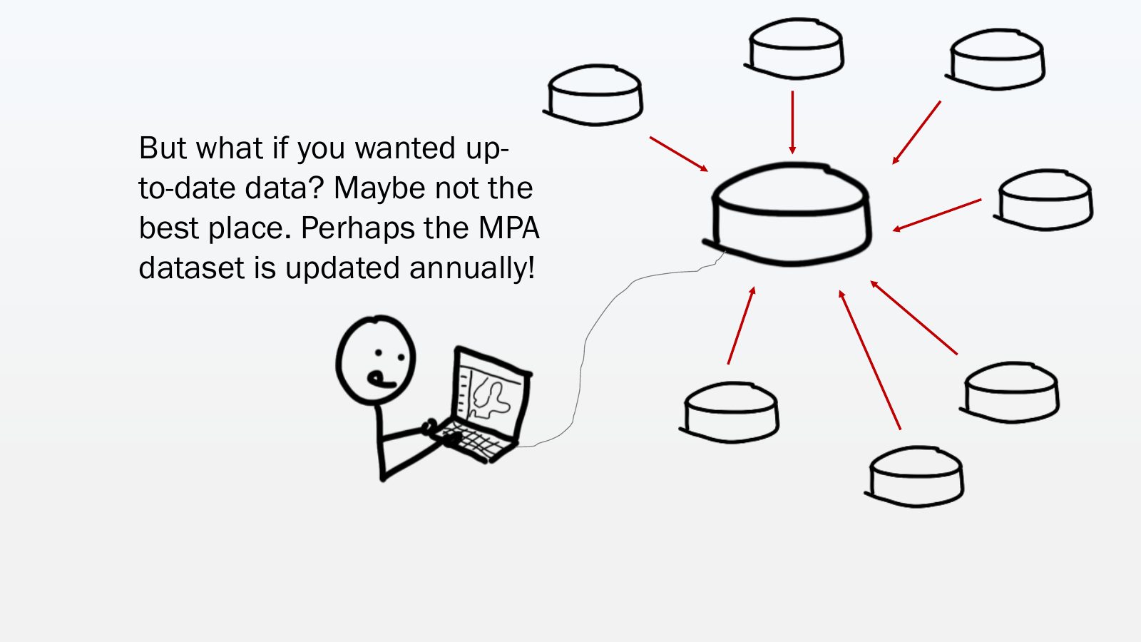
Slide 42 of 64: But what if you wanted up- to-date data? Maybe not the best place. Perhaps the MPA dataset is updated annually!
Slide 43 of 64: And that’s why now MSP planners have a... 2 option nd
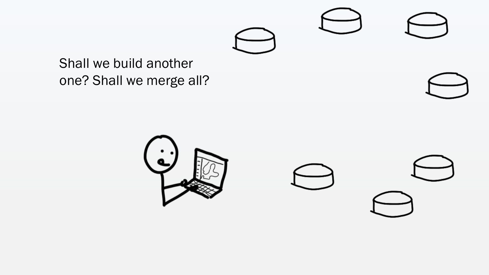
Slide 44 of 64: Use a tool to access decentralized data. How does that work?
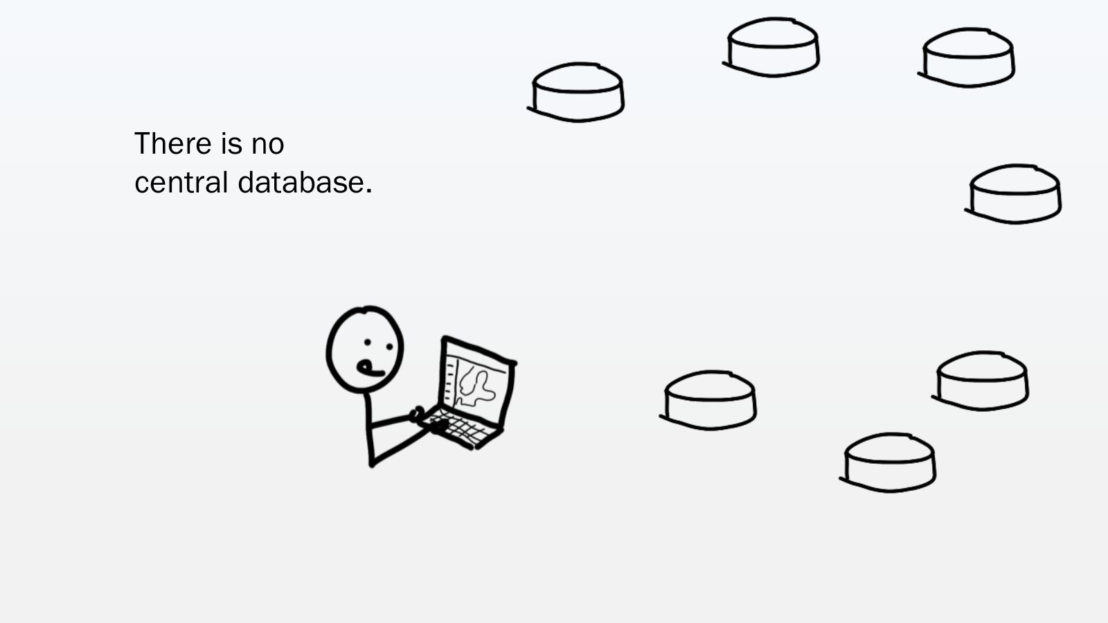
Slide 45 of 64: There is no central database.
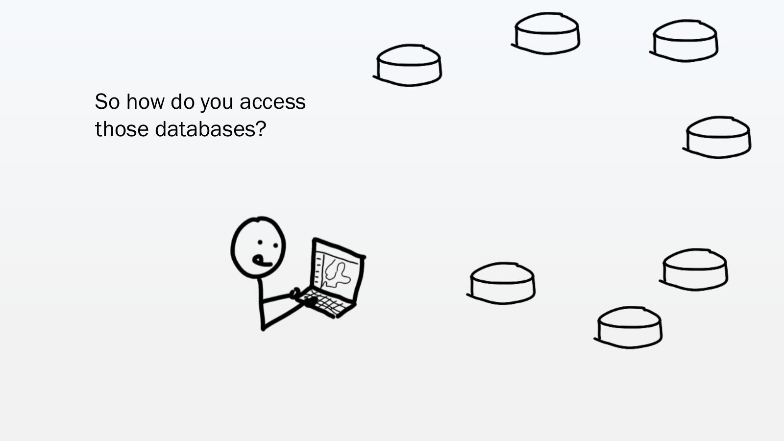
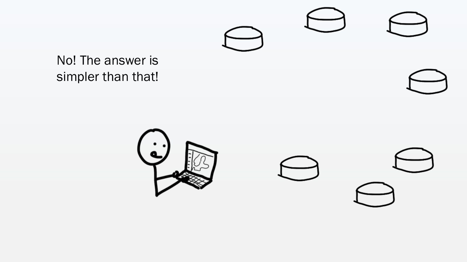
Slide 46 of 64: So how do you access those databases?
Slide 47 of 64: Shall we build another one? Shall we merge all?
Slide 48 of 64: No! The answer is simpler than that!
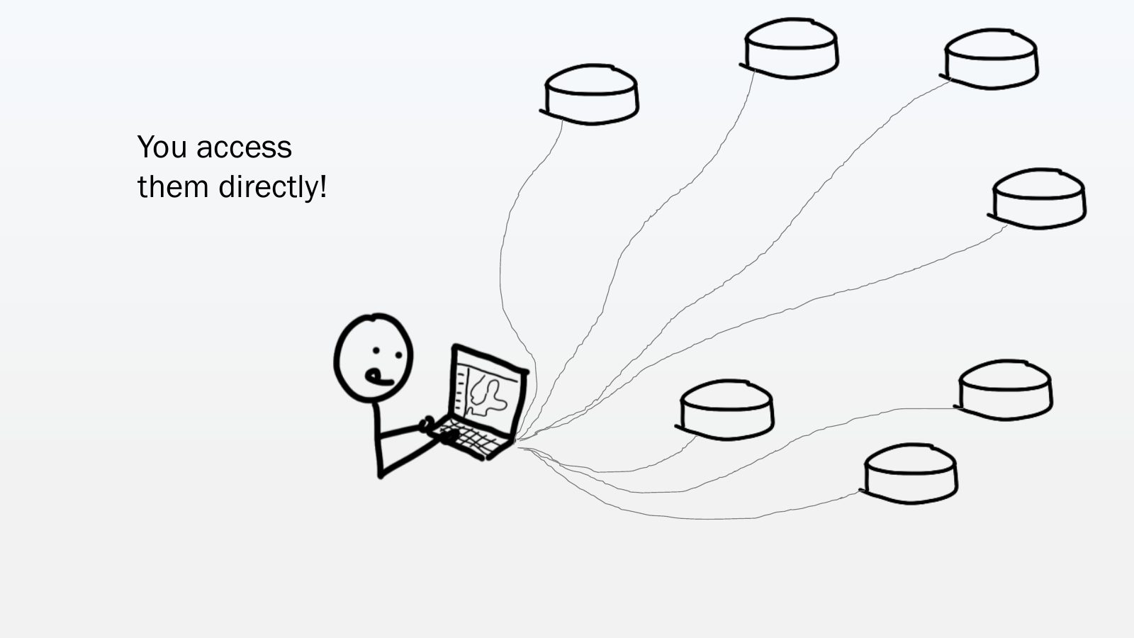
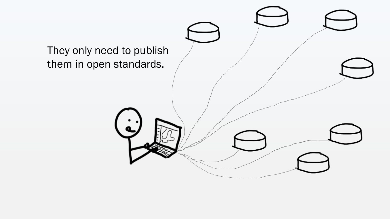
Slide 49 of 64: You access them directly!
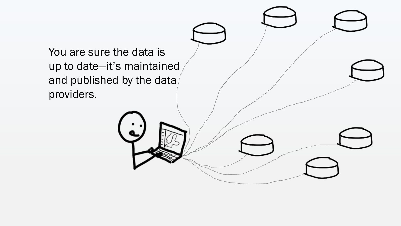
Slide 50 of 64: You are sure the data is up to date—it’s maintained and published by the data providers.
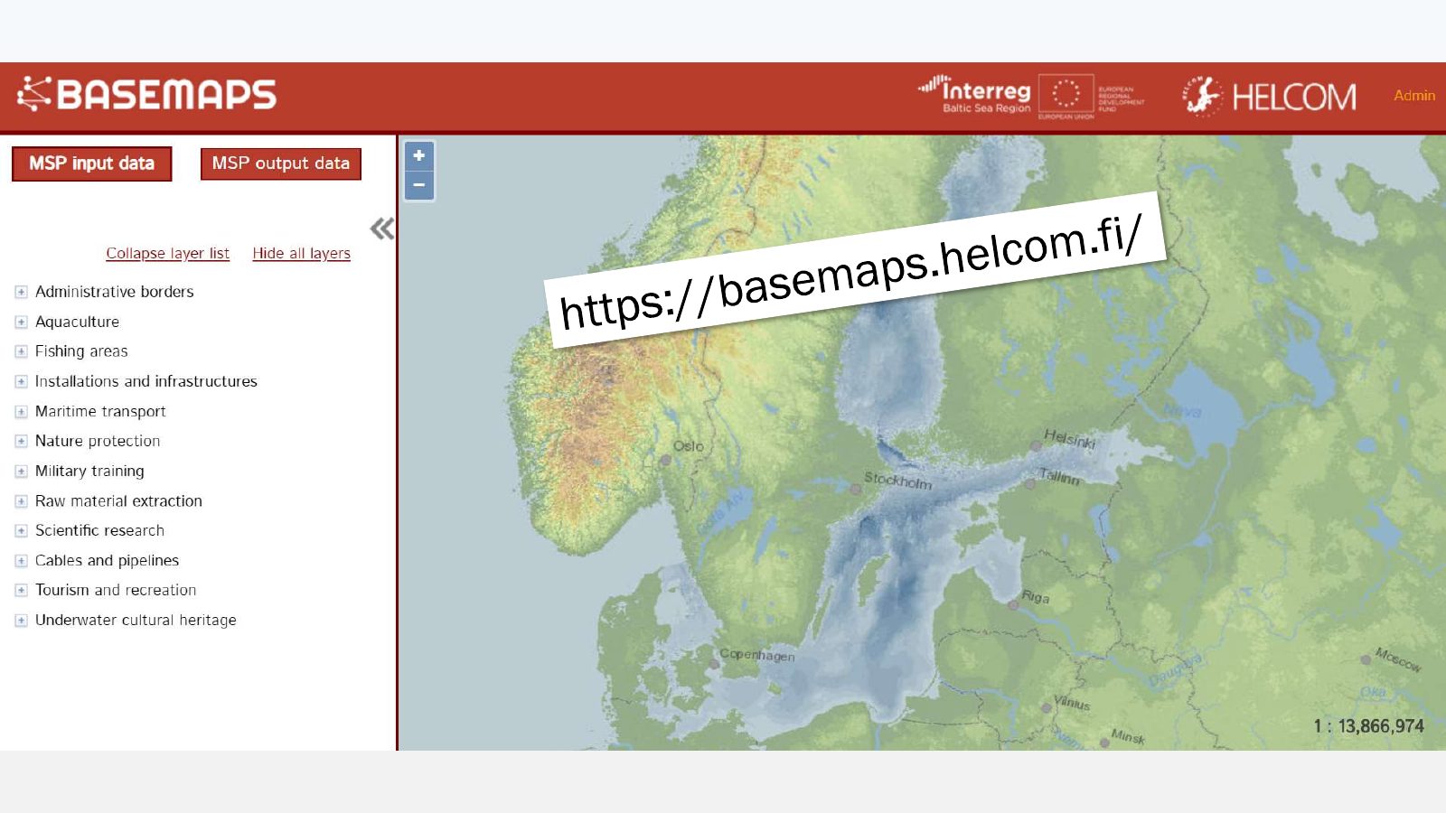
Slide 51 of 64: They only need to publish them in open standards.
Slide 52 of 64: This is what HELCOM has built...
Slide 53 of 64: This is what HELCOM has built... The first time MSP planners can search data from the original source...
Slide 54 of 64: ...and it’s called...
Slide 55 of 64: basemaps logo with subtitle
Slide 56 of 64: picture slide without text
Slide 57 of 64: Let me finish with the seed.
Slide 58 of 64: We have been nurturing it for three years.
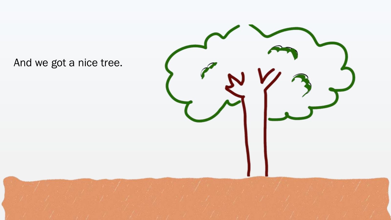
Slide 59 of 64: And we got a nice tree.
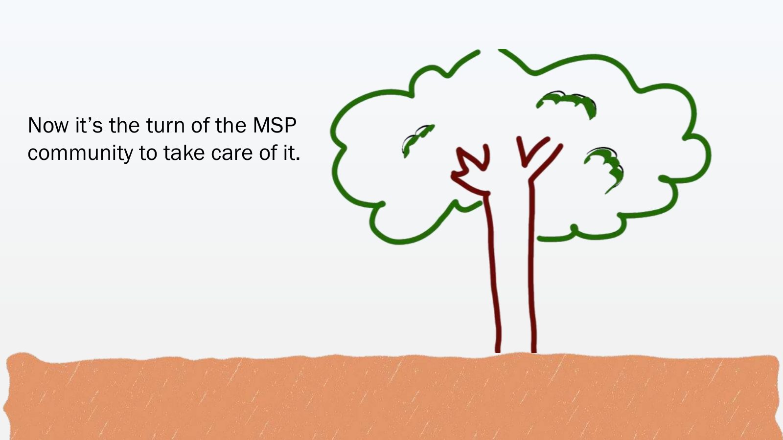
Slide 60 of 64: Now it’s the turn of the MSP community to take care of it.
Slide 61 of 64: How? By publishing data in open standards
Slide 62 of 64: Please, don't let the tree die!
Slide 63 of 64: Data providers: publish data in open standards!
Slide 64 of 64: picture slide without text
1 / 64
Swipe, use the arrows or the keyboard arrow keys. Download the slides (PDF, 1.1 MB)

← All stories